LakeArgyleFSP1
Site:
LakeArgyleFSP1
Downloads:
Map
Description:
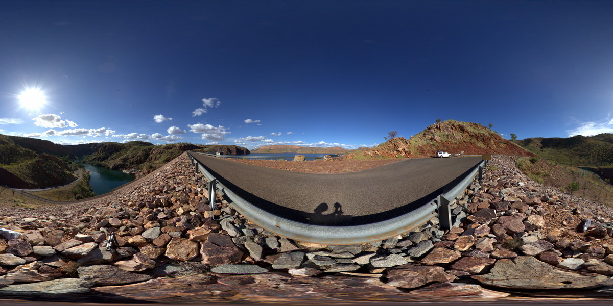
view from atop Lake Argyle dam, illustrating moderately to steeply dipping quartzite and phyllite of the Carr Boyd Group. Lake Argyle Dam. W.A.
| Capture Date: | June 16, 2016, noon |
| Latitude: | -16.12274000000 degrees |
| Longitude: | 128.73785000000 degrees |
| Elevation: | NA |
| Visualisation Type: | FSP |
| Location Accuracy: | 0 metres |
Keywords:
- metasediments
- structure
- fold
- dip
| metasediment | |
|---|---|
| Form Type: | bedded |
| Description: | bedded phyllite and quartzite. |
| Min Geological Age: | Ectasian |
| Max Geological Age: | Ectasian |
| Min Numerical Age: | 1200.000 |
| Max Numerical Age: | 1400.000 |
| Strat No: | 3663 |
| Supergroup: | |
| Group: | Carr Boyd Group |
| Subgroup: | |
| Formation: | |
| Member: | |
| Province: | Halls Creek Orogen |