LakeRowallan
Site:
LakeRowallan
Downloads:
Map
3D Model:
Description:
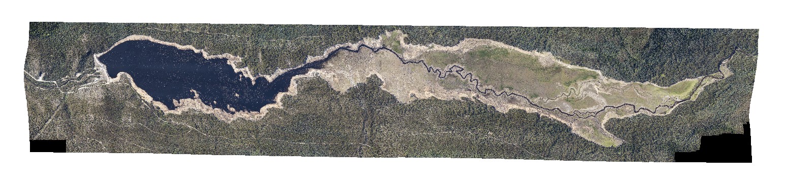
aerial view of lake Rowallan during low water level. Tasmania.
| Capture Date: | Undated |
| Latitude: | -41.73505940000 degrees |
| Longitude: | 146.21744630000 degrees |
| Elevation: | NA |
| Visualisation Type: | 3D |
| Location Accuracy: | 20 metres |
Keywords: