Launceston2
Site:
Launceston2
Downloads:
Map
3D Model:
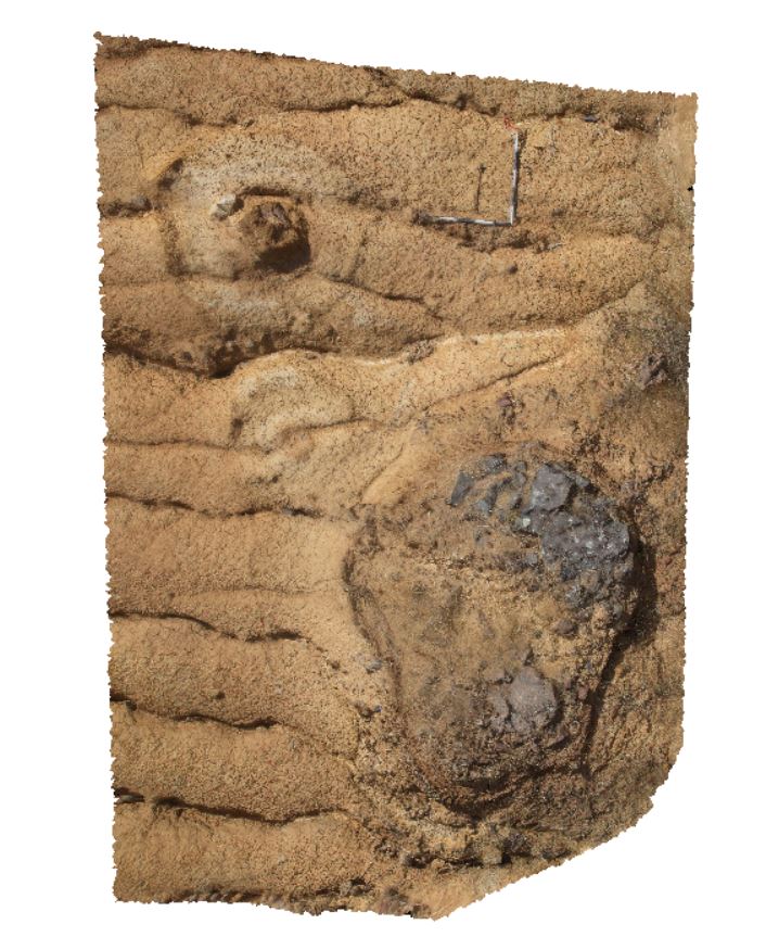
Description:
dolerite lone stones, one very weathered. Launceston, Tas.
| Capture Date: | Undated |
| Latitude: | -41.52905000000 degrees |
| Longitude: | 147.18474000000 degrees |
| Elevation: | NA |
| Visualisation Type: | 3D |
| Location Accuracy: | 5 metres |
Keywords:
- weathering
- lone stone
- dolerite
| dolerite | |
|---|---|
| Form Type: | sill |
| Description: | massive, rounded dolerite boulders. Some with weathering. |
| Min Geological Age: | Middle Jurassic |
| Max Geological Age: | Middle Jurassic |
| Min Numerical Age: | 174.000 |
| Max Numerical Age: | 175.000 |
| Strat No: | 76559 |
| Supergroup: | |
| Group: | |
| Subgroup: | |
| Formation: | Jurassic mafic intrusives 76559 |
| Member: | |
| Province: |