LimestoneCreek1
Site:
LimestoneCreek1
Downloads:
Map
3D Model:
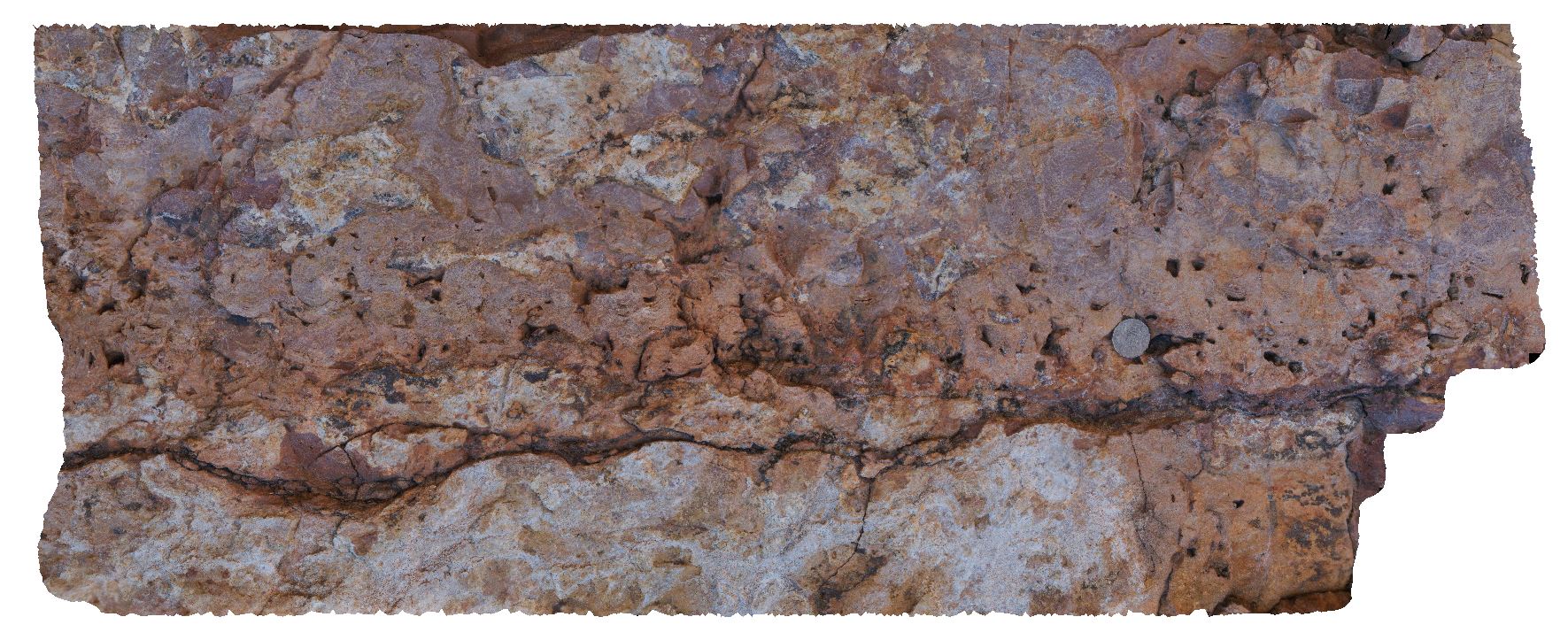
Description:
bed of laminated, conchoidal stromatolitic limestone with irregular, wavy contact with massive dolostone. Near Limestone Creek, Victoria Highway, N.T.
| Capture Date: | June 21, 2016, noon |
| Latitude: | -14.81136000000 degrees |
| Longitude: | 131.93707000000 degrees |
| Elevation: | NA |
| Visualisation Type: | 3D |
| Location Accuracy: | 0 metres |
Keywords:
- stromatolitic limestone
- dolostone
- stromatolite
- fossil
- palaeontology
| limestone | |
|---|---|
| Form Type: | bedded |
| Description: | bedded pink and grey laminated stromatolitic limestone with irregular an wavy contact with massive dolostone. |
| Min Geological Age: | Early Ordovician |
| Max Geological Age: | Tremadocian |
| Min Numerical Age: | 470.000 |
| Max Numerical Age: | 485.400 |
| Strat No: | 24443 |
| Supergroup: | |
| Group: | |
| Subgroup: | |
| Formation: | Oolloo Dolostone |
| Member: | |
| Province: |