LitchfieldFSP5
Site:
LitchfieldFSP5
Downloads:
Map
Description:
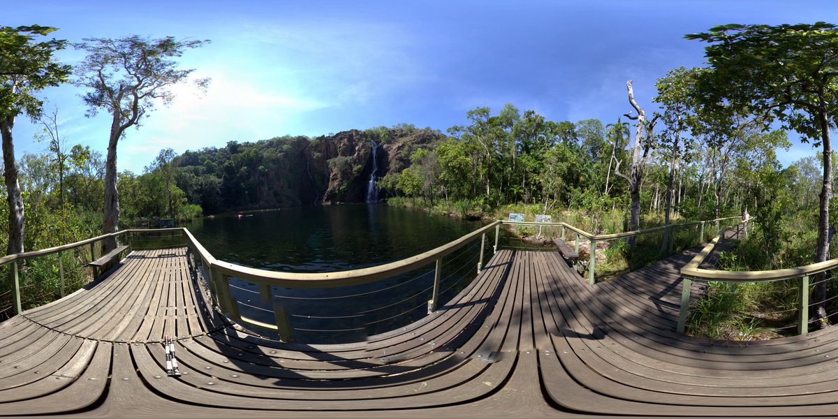
Wangi Falls flowing over bedded sandstone. Litchfield National Park, N.T.
| Capture Date: | June 23, 2016, noon |
| Latitude: | -13.16383000000 degrees |
| Longitude: | 130.68431000000 degrees |
| Elevation: | NA |
| Visualisation Type: | FSP |
| Location Accuracy: | 0 metres |
Keywords:
- sandstone
- sedimentology
| sandstone | |
|---|---|
| Form Type: | bedded |
| Description: | Massive cross-bedded quartz sandstone, quartzite, pebble bands. |
| Min Geological Age: | Statherian |
| Max Geological Age: | Orosirian |
| Min Numerical Age: | 1700.000 |
| Max Numerical Age: | 1825.000 |
| Strat No: | 5379 |
| Supergroup: | |
| Group: | Tolmer Group |
| Subgroup: | |
| Formation: | Depot Creek Sandstone |
| Member: | |
| Province: |