LohreysRd8
Site:
LohreysRd8
Downloads:
Map
3D Model:
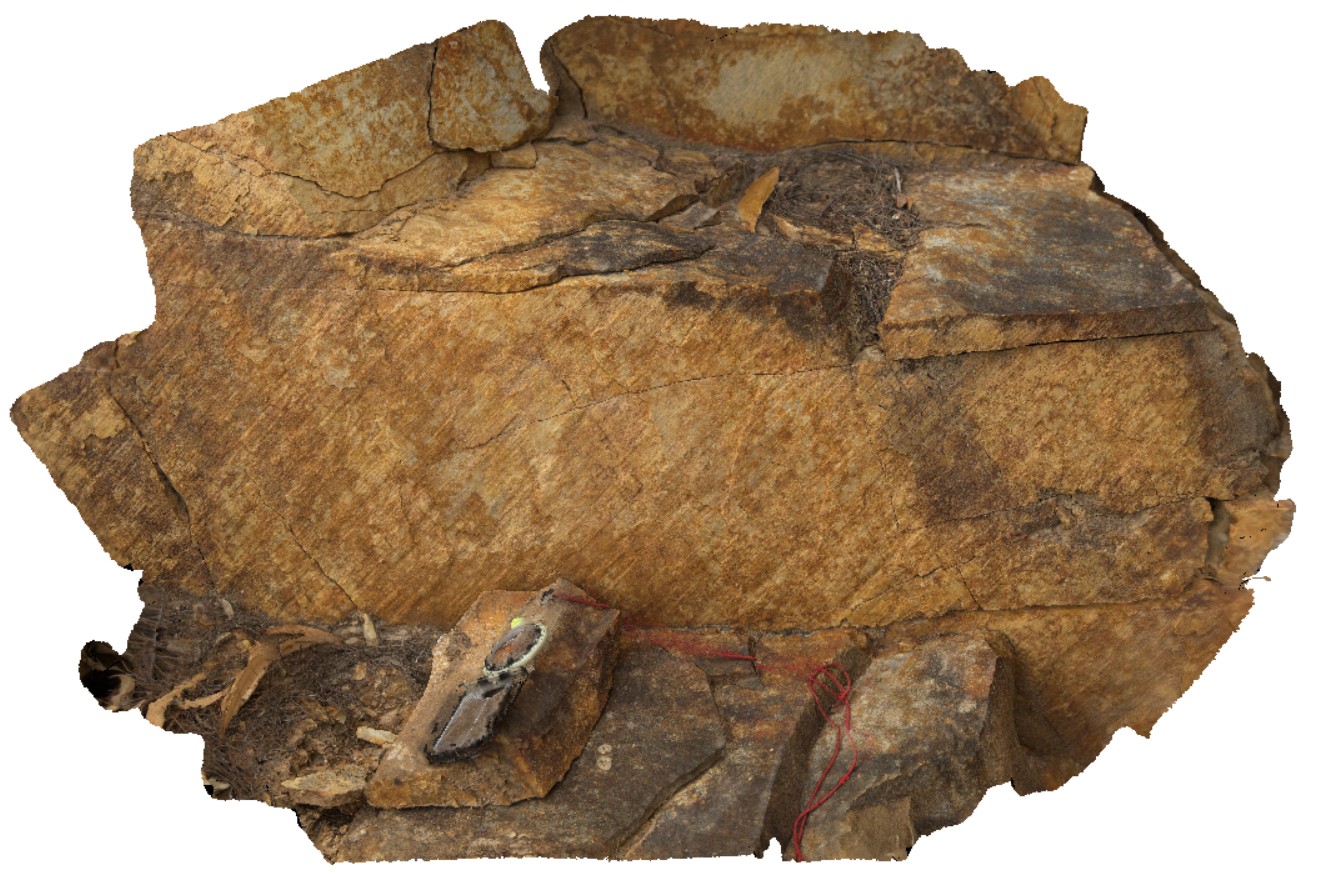
Description:
fault striations and steps on surface. Catos Rd, Tasmania.
| Capture Date: | April 7, 2016, 1:56 p.m. |
| Latitude: | -41.50199000000 degrees |
| Longitude: | 148.11554000000 degrees |
| Elevation: | NA |
| Visualisation Type: | 3D |
| Location Accuracy: | 0 metres |
Keywords:
- fault surface
- striations
- fault steps
| sandstone | |
|---|---|
| Form Type: | bedded |
| Description: | moderately thickly bedded sandstone |
| Min Geological Age: | Early Devonian |
| Max Geological Age: | Early Ordovician |
| Min Numerical Age: | 393.300 |
| Max Numerical Age: | 485.400 |
| Strat No: | 36812 |
| Supergroup: | Mathinna Supergroup |
| Group: | |
| Subgroup: | |
| Formation: | |
| Member: | |
| Province: | Lachlan Orogen, Melbourne-Mathinna Zone |