LordHowe15
Site:
LordHowe15
Downloads:
Map
3D Model:
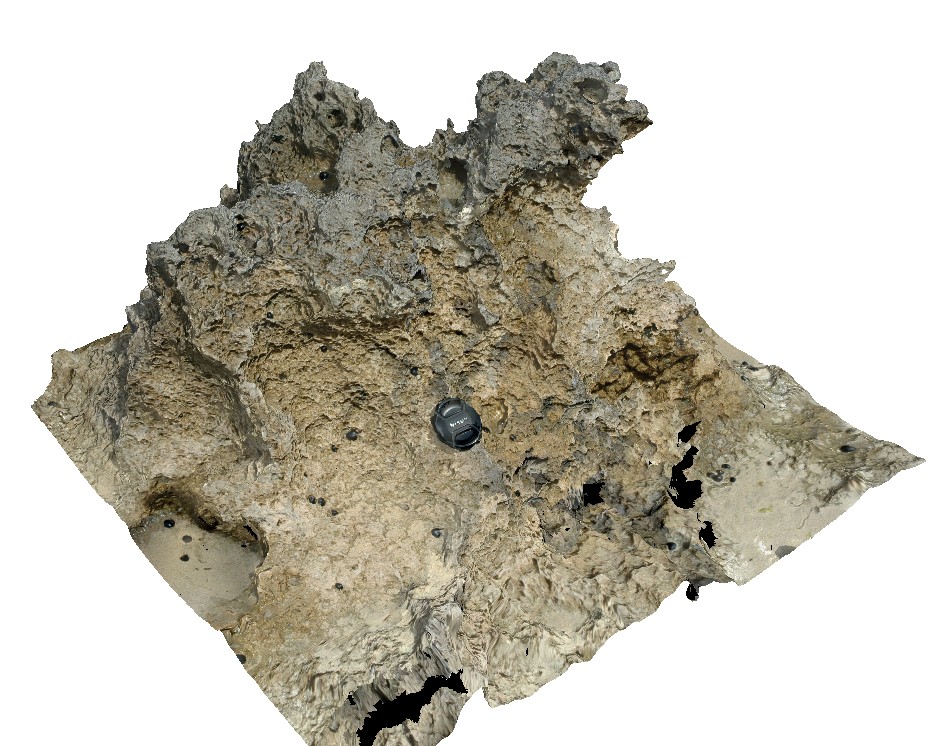
Description:
weathered calcarenite. Lord Howe Island.
| Capture Date: | March 16, 2015, 2:51 p.m. |
| Latitude: | -31.52049204000 degrees |
| Longitude: | 159.05723998000 degrees |
| Elevation: | 0.000 metres |
| Visualisation Type: | 3D |
| Location Accuracy: | 20 metres |
Keywords:
- calcarenite
- sedimentology
| calcarenite | |
|---|---|
| Form Type: | bedded |
| Description: | fine grained calcarenite |
| Min Geological Age: | Cenozoic |
| Max Geological Age: | Cenozoic |
| Min Numerical Age: | 0.012 |
| Max Numerical Age: | 66.000 |
| Strat No: | 13957 |
| Supergroup: | |
| Group: | |
| Subgroup: | |
| Formation: | Neds Beach Calcarenite |
| Member: | |
| Province: |