LordHowe4
Site:
LordHowe4
Downloads:
Map
3D Model:
Description:
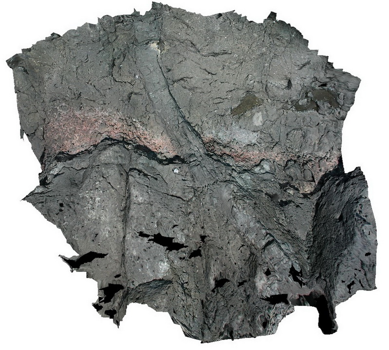
dyke cross cutting basalt flows and scoria beds. Lord Howe Island.
| Capture Date: | March 16, 2015, 2:52 p.m. |
| Latitude: | -31.51417954000 degrees |
| Longitude: | 159.04388484000 degrees |
| Elevation: | 0.000 metres |
| Visualisation Type: | 3D |
| Location Accuracy: | 20 metres |
Keywords:
- basalt
- dyke
- scoria
| basalt | |
|---|---|
| Form Type: | dyke |
| Description: | the basalts are described as tholeiitic lavas, which large crystals of plagioclase, clinopyroxene and rare olivine. |
| Min Geological Age: | Neogene |
| Max Geological Age: | Cenozoic |
| Min Numerical Age: | 3.600 |
| Max Numerical Age: | 66.000 |
| Strat No: | 14280 |
| Supergroup: | |
| Group: | |
| Subgroup: | |
| Formation: | North Ridge Basalt |
| Member: | |
| Province: |