Maria9
Site:
Maria9
Downloads:
Map
3D Model:
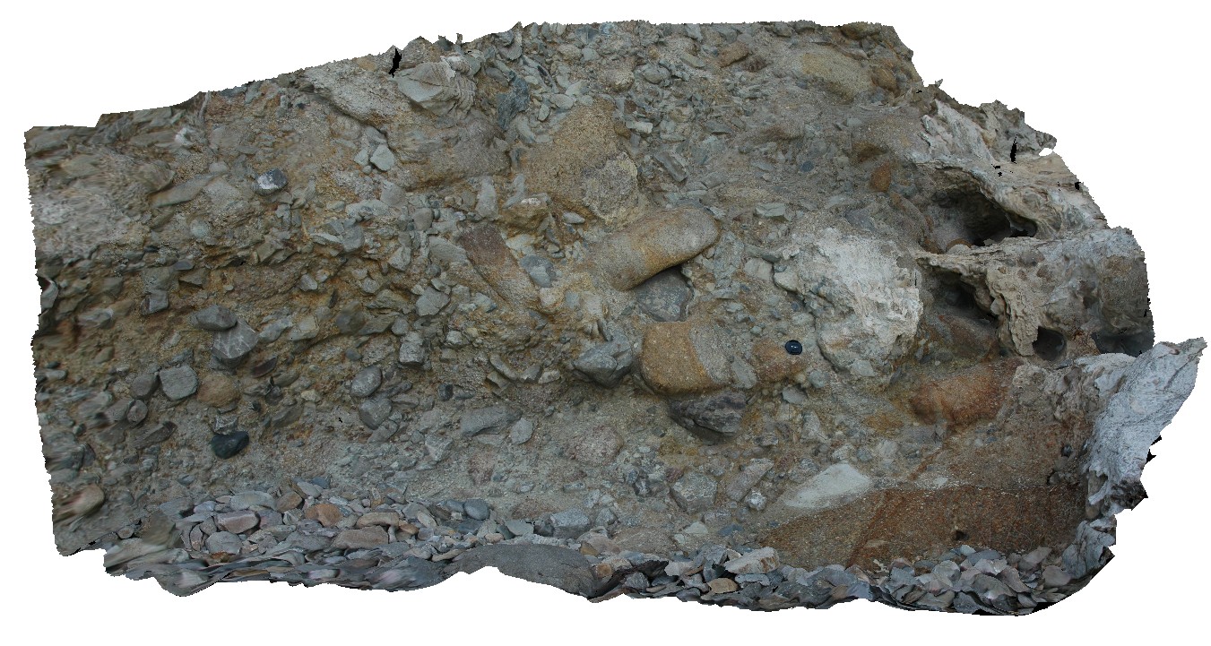
Description:
matrix supported Pleistocene talus deposit with predominantly dolerite clasts. Maria Island, Tas.
| Capture Date: | March 16, 2015, 2:33 p.m. |
| Latitude: | -42.66113564000 degrees |
| Longitude: | 148.10395542000 degrees |
| Elevation: | 2.000 metres |
| Visualisation Type: | 3D |
| Location Accuracy: | 20 metres |
Keywords:
- talus deposit
- Pleistocene
| talus | |
|---|---|
| Form Type: | bed |
| Description: | poorly sorted talus deposit, with predominantly dolerite clasts |
| Min Geological Age: | Pleistocene |
| Max Geological Age: | Pleistocene |
| Min Numerical Age: | 0.012 |
| Max Numerical Age: | 2.580 |
| Strat No: | 0 |
| Supergroup: | |
| Group: | |
| Subgroup: | |
| Formation: | |
| Member: | |
| Province: |