MaryRiver2
Site:
MaryRiver2
Downloads:
Map
3D Model:
Description:
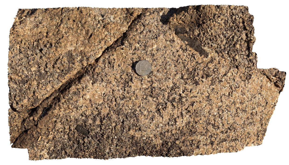
weathered granite with tabular xenoliths. Next to Arnhem Highway, Mary River, N.T.
| Capture Date: | June 23, 2016, noon |
| Latitude: | -12.90025000000 degrees |
| Longitude: | 131.62051000000 degrees |
| Elevation: | NA |
| Visualisation Type: | 3D |
| Location Accuracy: | 0 metres |
Keywords:
- granite
- xenoliths
- weathering
| granite | |
|---|---|
| Form Type: | pluton |
| Description: | Pink porphyritic biotite granite |
| Min Geological Age: | Orosirian |
| Max Geological Age: | Orosirian |
| Min Numerical Age: | 1825.000 |
| Max Numerical Age: | 1831.000 |
| Strat No: | 12554 |
| Supergroup: | Cullen Supersuite |
| Group: | |
| Subgroup: | |
| Formation: | Mount Bundey Granite |
| Member: | |
| Province: |