MistakeCreekFSP1
Site:
MistakeCreekFSP1
Downloads:
Map
Description:
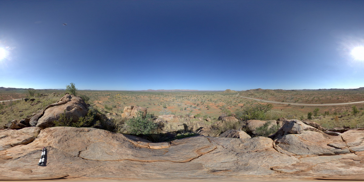
view from granite outcrop at surrounding plane. Mistake Creek, Great Northern Highway, north of Warmun Roadhouse. W.A.
| Capture Date: | June 11, 2016, noon |
| Latitude: | -16.94494000000 degrees |
| Longitude: | 128.24110000000 degrees |
| Elevation: | NA |
| Visualisation Type: | FSP |
| Location Accuracy: | 0 metres |
Keywords:
- granite
| granite | |
|---|---|
| Form Type: | pluton |
| Description: | Mafic intrusions; biotite-bearing norite, gabbronorite, gabbro; cut by veins of granitoid rock. Fine- to coarse-grained biotite monzogranite, syenogranite, and granodiorite; biotite(-hornblende) tonalite; even-textured to porphyritic. |
| Min Geological Age: | Orosirian |
| Max Geological Age: | Orosirian |
| Min Numerical Age: | 1800.000 |
| Max Numerical Age: | 1835.000 |
| Strat No: | 31785 |
| Supergroup: | Sally Downs Supersuite |
| Group: | |
| Subgroup: | |
| Formation: | |
| Member: | |
| Province: | Halls Creek Orogen, Lamboo Province |