Mitchell17
Site:
Mitchell17
Downloads:
Map
3D Model:
Description:
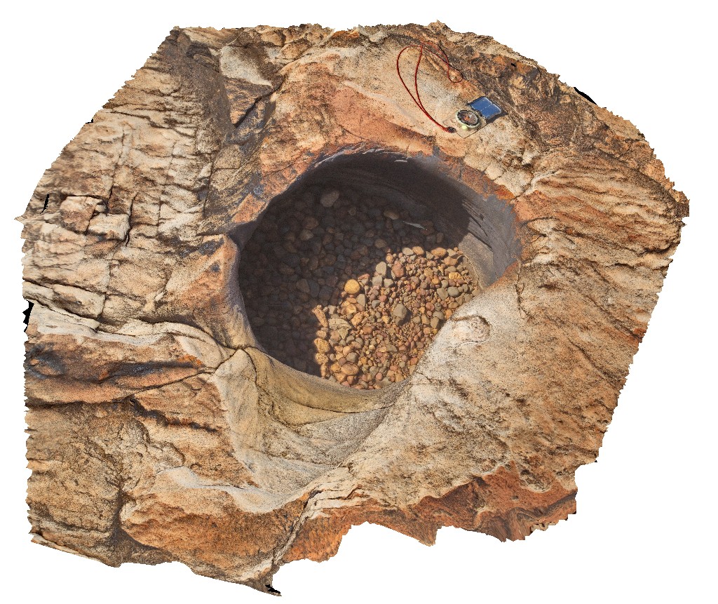
pot hole with small rounded grind stones. Surveyors pool. Mitchell Plateau, Kimberley, W.A.
| Capture Date: | June 8, 2016, noon |
| Latitude: | -14.67411000000 degrees |
| Longitude: | 125.73239000000 degrees |
| Elevation: | NA |
| Visualisation Type: | 3D |
| Location Accuracy: | 0 metres |
Keywords:
- sandstone
- King Leopold Sandstone
- pot hole
- grind stone
| sandstone | |
|---|---|
| Form Type: | bedded |
| Description: | medium-grained, blocky, bedded sandstone with cross bedding. |
| Min Geological Age: | Statherian |
| Max Geological Age: | Orosirian |
| Min Numerical Age: | 1790.000 |
| Max Numerical Age: | 1834.000 |
| Strat No: | 9602 |
| Supergroup: | |
| Group: | Kimberley Group |
| Subgroup: | |
| Formation: | King Leopold Sandstone |
| Member: | |
| Province: | Kimberley Basin |