Mitchell19
Site:
Mitchell19
Downloads:
Map
3D Model:
Description:
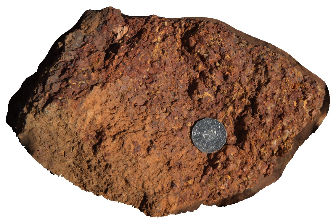
broken surface of Ferruginous laterite from site Mitchell18. East of Kaniwal. Mitchell Plateau, Kimberley, W.A.
| Capture Date: | June 8, 2016, noon |
| Latitude: | -14.83894000000 degrees |
| Longitude: | 125.87528000000 degrees |
| Elevation: | NA |
| Visualisation Type: | 3D |
| Location Accuracy: | 0 metres |
Keywords:
- Ferruginous laterite
- Mitchell Plateau
- pisolith
| laterite | |
|---|---|
| Form Type: | bedded |
| Description: | Ferruginous laterite, showing individual round pisoliths. Age unknown |
| Min Geological Age: | |
| Max Geological Age: | |
| Min Numerical Age: | 0.000 |
| Max Numerical Age: | 0.000 |
| Strat No: | 0 |
| Supergroup: | |
| Group: | |
| Subgroup: | |
| Formation: | |
| Member: | |
| Province: |