MitchellFSP4
Site:
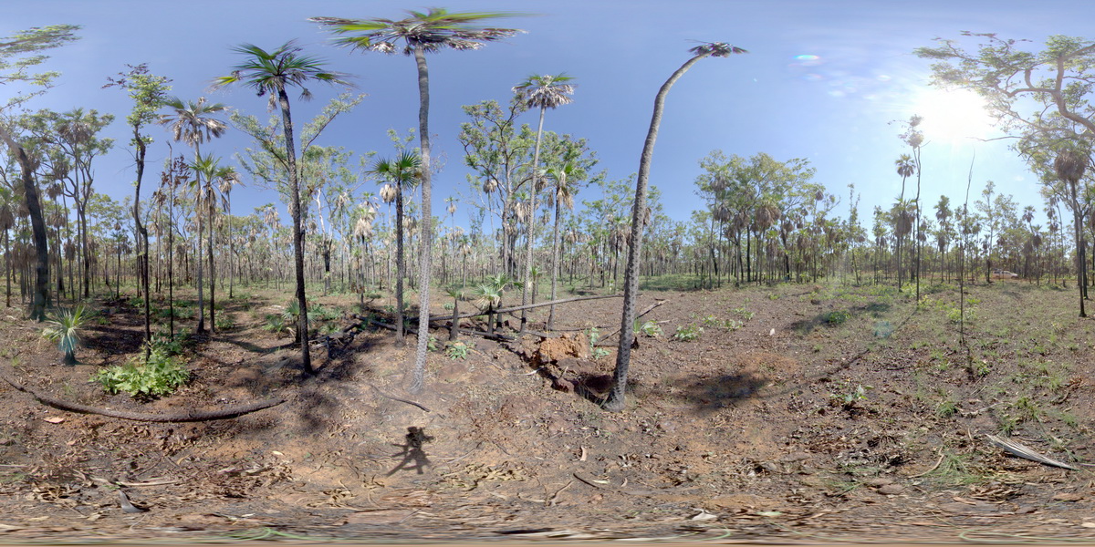
MitchellFSP4
Downloads:
Map
Description:
View of vegetation developed over Mitchell Plateau laterite, showing a classic geobotanical association. Mitchell Plateau, W.A.
| Capture Date: | June 8, 2016, noon |
| Latitude: | -14.83924000000 degrees |
| Longitude: | 125.87507000000 degrees |
| Elevation: | NA |
| Visualisation Type: | FSP |
| Location Accuracy: | 0 metres |
Keywords:
- Mitchell Plateau
- laterite
- Bauxite
- weathering
| laterite | |
|---|---|
| Form Type: | |
| Description: | Bauxite forms on deeply weathered Carson Volcanics. Age unknown |
| Min Geological Age: | |
| Max Geological Age: | |
| Min Numerical Age: | 0.000 |
| Max Numerical Age: | 0.000 |
| Strat No: | 0 |
| Supergroup: | |
| Group: | |
| Subgroup: | |
| Formation: | |
| Member: | |
| Province: |