MtBonnie2
Site:
MtBonnie2
Downloads:
Map
3D Model:
Description:
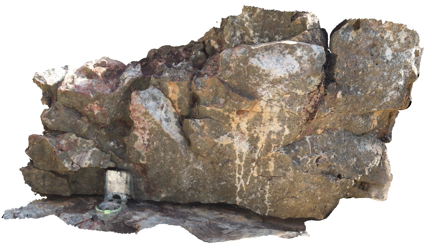
green and white banded to patchy alteration and red (hematite?) alteration near quartz veins. Quartz-filled cavity. Mount Bonnie gold field. Grove Hill road, off Stuart Highway, N.T.
| Capture Date: | June 23, 2016, noon |
| Latitude: | -13.57035000000 degrees |
| Longitude: | 131.51720000000 degrees |
| Elevation: | NA |
| Visualisation Type: | 3D |
| Location Accuracy: | 0 metres |
Keywords:
- alteration
- quartz stockwork veins
| quartzite | |
|---|---|
| Form Type: | bedded |
| Description: | massive, blocky quartzite with iron oxide alteration. |
| Min Geological Age: | Orosirian |
| Max Geological Age: | Orosirian |
| Min Numerical Age: | 1863.000 |
| Max Numerical Age: | 2025.000 |
| Strat No: | 17111 |
| Supergroup: | Cosmo Supergroup |
| Group: | South Alligator Group |
| Subgroup: | |
| Formation: | |
| Member: | |
| Province: | Pine Creek Orogen |