MtGambier1
Site:
MtGambier1
Downloads:
Map
3D Model:
Description:
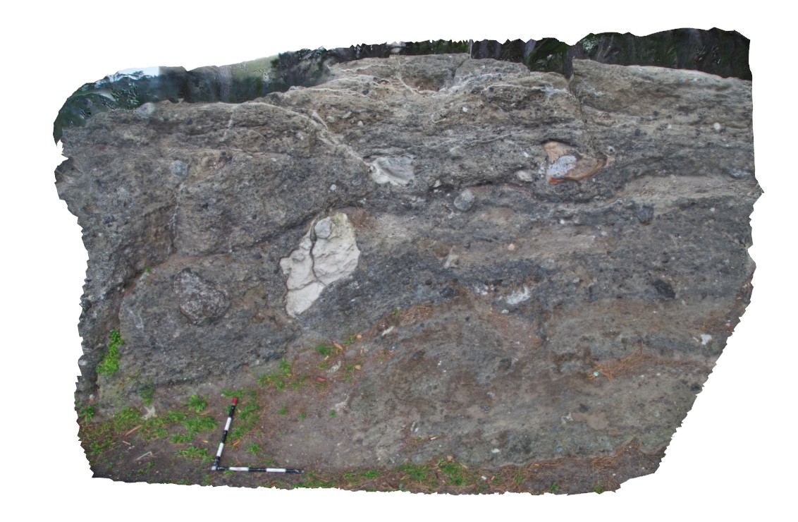
view of volcanic deposits with large blocks of limestone and basalt. Mount Gambier, S.A.
| Capture Date: | June 5, 2016, 10:47 a.m. |
| Latitude: | -37.84322000000 degrees |
| Longitude: | 140.77348000000 degrees |
| Elevation: | NA |
| Visualisation Type: | 3D |
| Location Accuracy: | 0 metres |
Keywords:
- volcanics
| igneous | |
|---|---|
| Form Type: | volcanic |
| Description: | volcanic deposits with large blocks of limestone and basalt |
| Min Geological Age: | Quaternary |
| Max Geological Age: | Quaternary |
| Min Numerical Age: | 0.012 |
| Max Numerical Age: | 2.580 |
| Strat No: | 28796 |
| Supergroup: | |
| Group: | Mount Gambier Volcanic Complex |
| Subgroup: | |
| Formation: | |
| Member: | |
| Province: |
| limestone | |
|---|---|
| Form Type: | bedded |
| Description: | Limestone, fossiliferous. Open marine shelf. |
| Min Geological Age: | Early Miocene |
| Max Geological Age: | Late Oligocene |
| Min Numerical Age: | 15.000 |
| Max Numerical Age: | 38.000 |
| Strat No: | 6976 |
| Supergroup: | |
| Group: | |
| Subgroup: | |
| Formation: | Gambier Limestone |
| Member: | |
| Province: |