MtGippsFSP57
Site:
MtGippsFSP57
Downloads:
Map
Description:
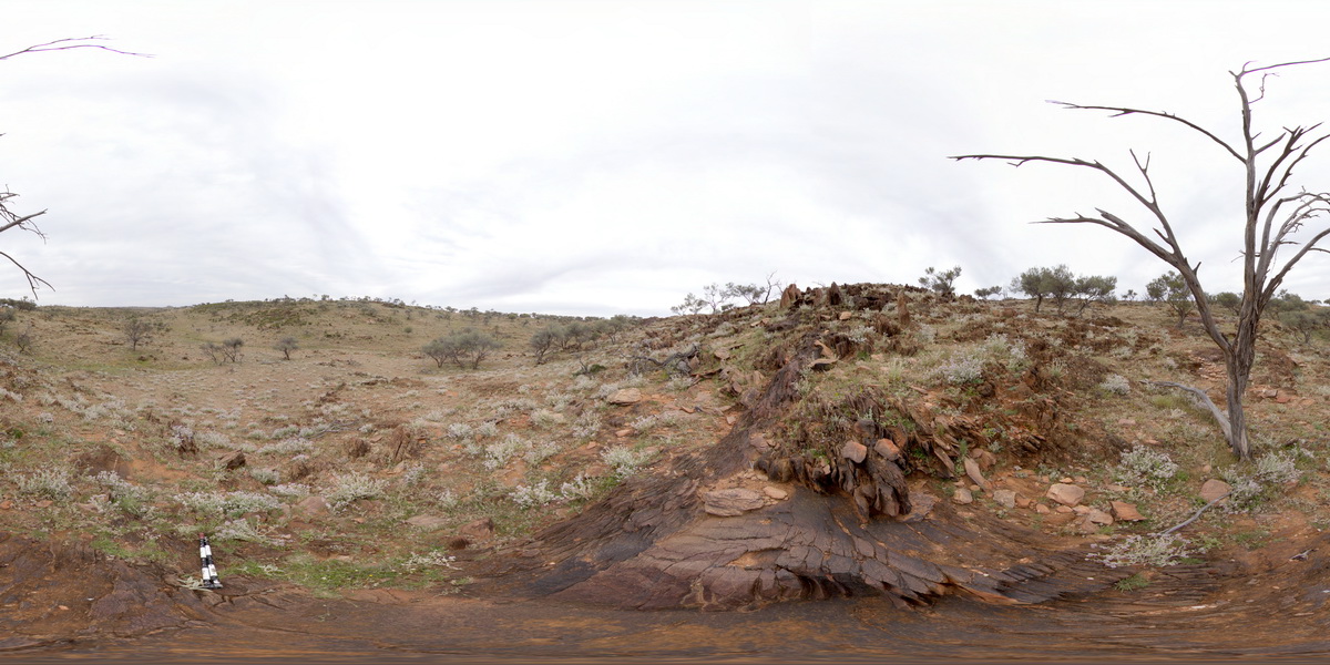
360 degree view of disrupted metasediments. Mount Gipps, N.S.W.
| Capture Date: | Undated |
| Latitude: | -31.61584100000 degrees |
| Longitude: | 141.49931700000 degrees |
| Elevation: | NA |
| Visualisation Type: | FSP |
| Location Accuracy: | 5 metres |
Keywords:
- metasediments
| metasediments | |
|---|---|
| Form Type: | bedded |
| Description: | metasediments |
| Min Geological Age: | Statherian |
| Max Geological Age: | Statherian |
| Min Numerical Age: | 1693.000 |
| Max Numerical Age: | 1696.000 |
| Strat No: | 26096 |
| Supergroup: | Willyama Supergroup |
| Group: | |
| Subgroup: | |
| Formation: | Parnell Formation |
| Member: | |
| Province: |