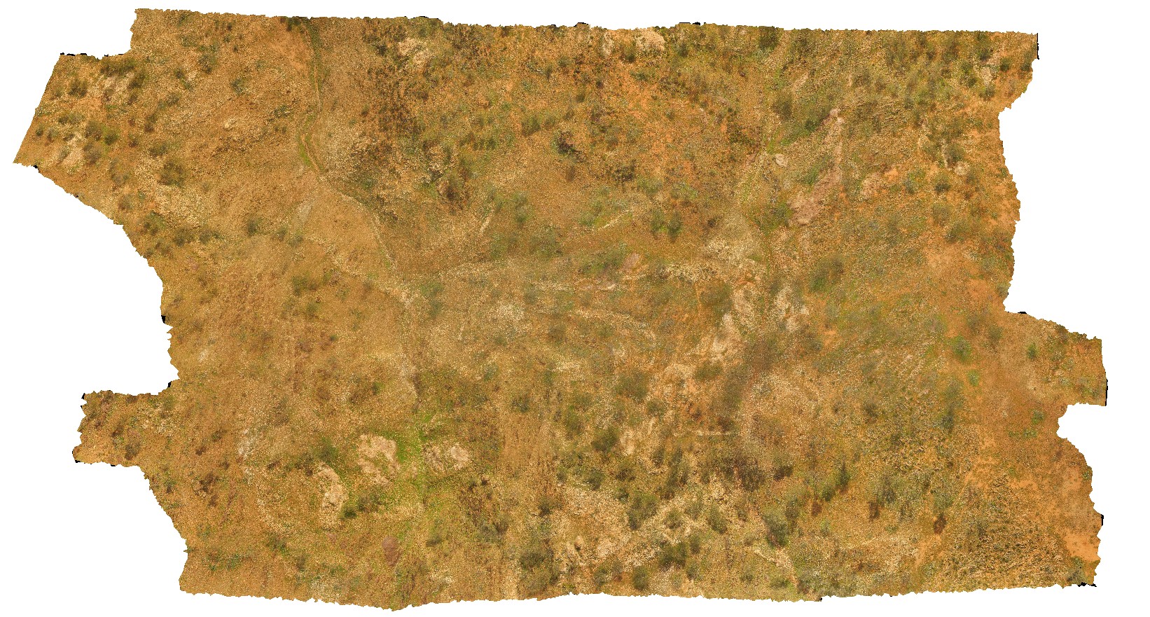
MtGippsUAV2
Site:
MtGippsUAV2
Downloads:
Map
3D Model:
Description:
metasediments, Mount Gipps, N.S.W.
| Capture Date: | June 27, 2016, noon |
| Latitude: | -31.61700110000 degrees |
| Longitude: | 141.50016650000 degrees |
| Elevation: | NA |
| Visualisation Type: | UAV |
| Location Accuracy: | 50 metres |
Keywords:
- metasediments
- structure
- metamorphic
| metasediments | |
|---|---|
| Form Type: | bedded |
| Description: | metasediments |
| Min Geological Age: | Paleoproterozoic |
| Max Geological Age: | Paleoproterozoic |
| Min Numerical Age: | 1600.000 |
| Max Numerical Age: | 1750.000 |
| Strat No: | 23602 |
| Supergroup: | Willyama Supergroup |
| Group: | |
| Subgroup: | |
| Formation: | Freyers Metasediments |
| Member: | |
| Province: |