NDALA1
Site:
NDALA1
Downloads:
Map
3D Model:
Description:
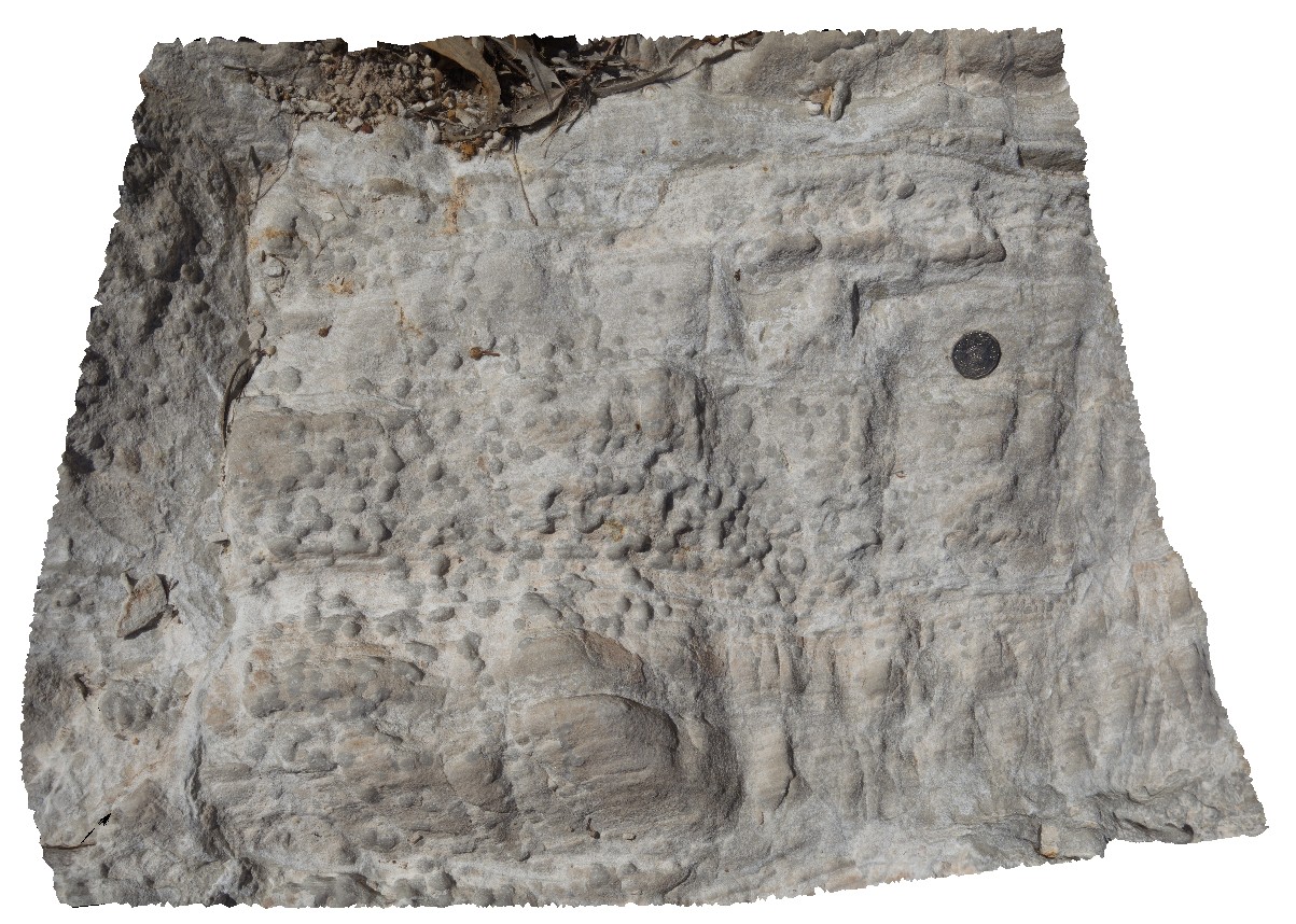
dolostone with concretions in N'Dala Gorge. Near Ross River, N.T.
| Capture Date: | July 27, 2016, 1:06 p.m. |
| Latitude: | -23.61792400000 degrees |
| Longitude: | 134.48947200000 degrees |
| Elevation: | 483.216 metres |
| Visualisation Type: | 3D |
| Location Accuracy: | 5 metres |
Keywords:
- dolostone
- sedimentology
- concretions
| dolostone | |
|---|---|
| Form Type: | bedded |
| Description: | pale-grey, nodular dolostone. |
| Min Geological Age: | Late Cambrian |
| Max Geological Age: | Middle Cambrian |
| Min Numerical Age: | 485.400 |
| Max Numerical Age: | 509.000 |
| Strat No: | 7646 |
| Supergroup: | |
| Group: | Pertaoorrta Group |
| Subgroup: | |
| Formation: | Goyder Formation |
| Member: | |
| Province: | Amadeus Basin |