NDALA3
Site:
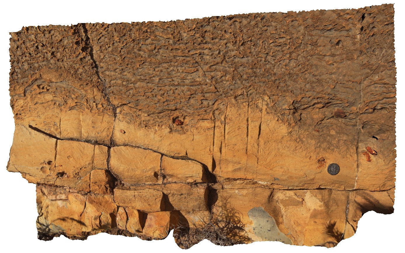
NDALA3
Downloads:
Map
3D Model:
Description:
stromatolitic layer in dolostone - sandstone. N'Dala Gorge. Near Ross River, N.T.
| Capture Date: | July 27, 2016, 2:02 p.m. |
| Latitude: | -23.61033000000 degrees |
| Longitude: | 134.49238900000 degrees |
| Elevation: | 493.654 metres |
| Visualisation Type: | 3D |
| Location Accuracy: | 0 metres |
Keywords:
- stromatolite
- fossil
- palaeontology
- sedimentology
| dolostone | |
|---|---|
| Form Type: | bedded |
| Description: | dolostone with stromatolite rich layers |
| Min Geological Age: | Cambrian |
| Max Geological Age: | Cambrian |
| Min Numerical Age: | 485.400 |
| Max Numerical Age: | 509.000 |
| Strat No: | 16797 |
| Supergroup: | |
| Group: | Pertaoorrta Group Pertaoorrta Group |
| Subgroup: | |
| Formation: | Shannon Formation |
| Member: | |
| Province: | Amadeus Basin |