NDALA4
Site:
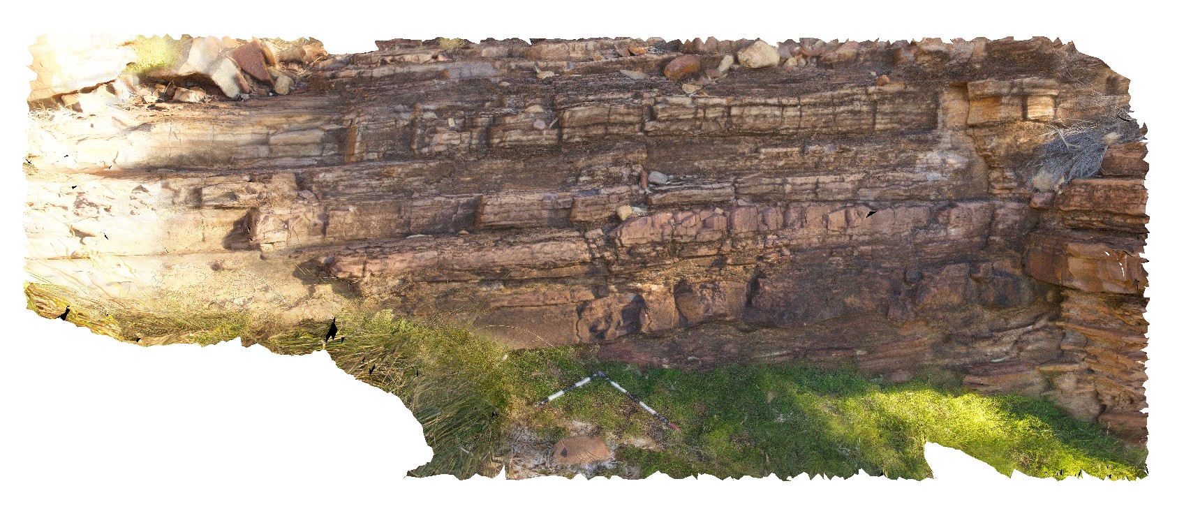
NDALA4
Downloads:
Map
3D Model:
Description:
finely layered siltstones and sandstones. N'Dala Gorge. Near Ross River, N.T.
| Capture Date: | July 27, 2016, 2:57 p.m. |
| Latitude: | -23.60143800000 degrees |
| Longitude: | 134.48589700000 degrees |
| Elevation: | 492.013 metres |
| Visualisation Type: | 3D |
| Location Accuracy: | 0 metres |
Keywords:
- layering
- sandstone
- siltstone
- sedimentology
| dolomite | |
|---|---|
| Form Type: | bedded |
| Description: | finely layered siltstones and sandstones |
| Min Geological Age: | Early Cambrian |
| Max Geological Age: | Early Cambrian |
| Min Numerical Age: | 509.000 |
| Max Numerical Age: | 541.000 |
| Strat No: | 69015 |
| Supergroup: | |
| Group: | Pertaoorrta Group |
| Subgroup: | |
| Formation: | Todd River Dolostone |
| Member: | |
| Province: | Amadeus Basin |