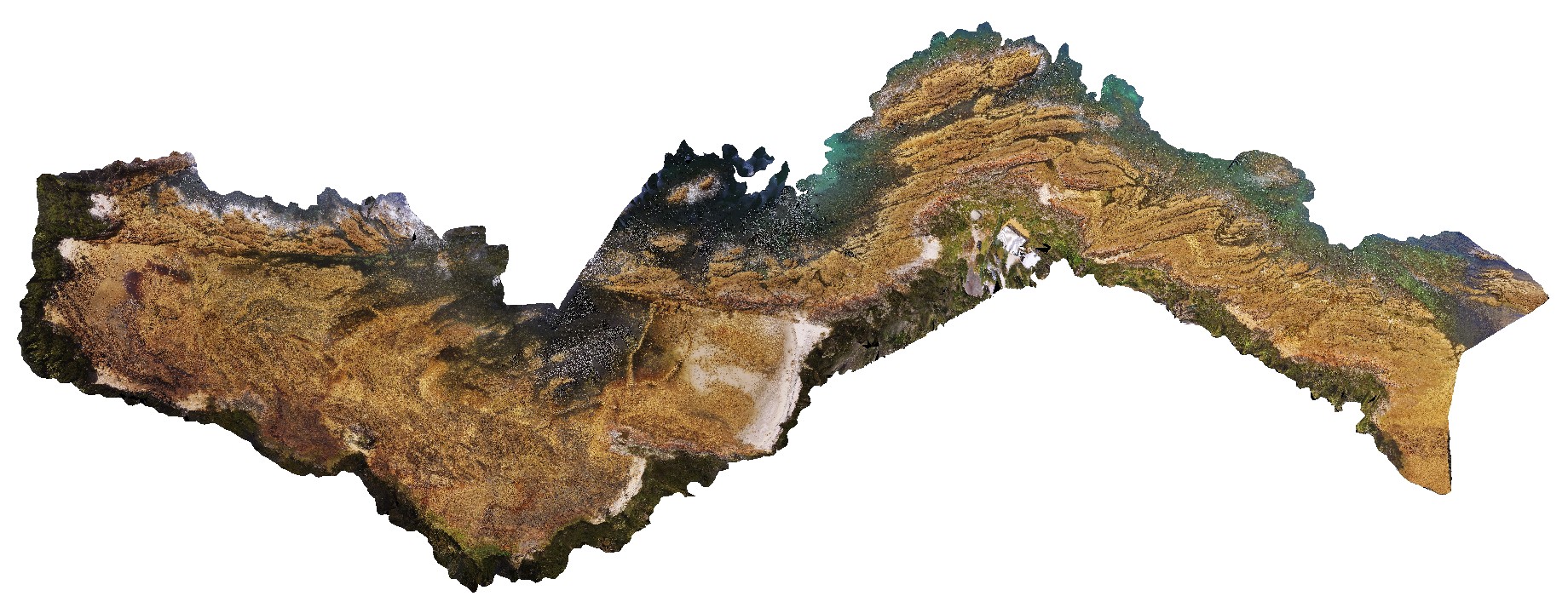
NTasUAV6
Site:
NTasUAV6
Downloads:
Map
3D Model:
Description:
aerial view of Boat Harbour foreshore, combine NTasUAVs 4 & 5
| Capture Date: | Undated |
| Latitude: | -40.92560000000 degrees |
| Longitude: | 145.61093300000 degrees |
| Elevation: | NA |
| Visualisation Type: | UAV |
| Location Accuracy: | 20 metres |
Keywords: