Newcastle1
Site:
Newcastle1
Downloads:
Map
3D Model:
Description:
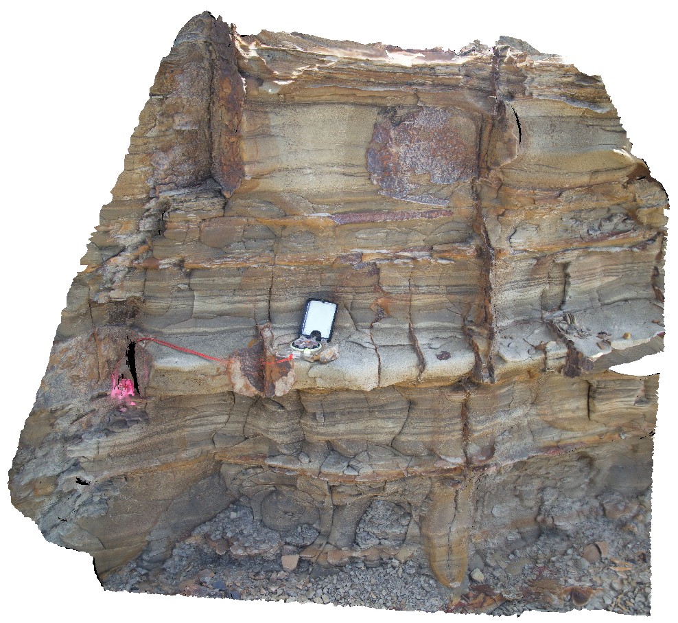
fluvial / floodplain sediments at the 'Bogey Hole', 1.5m below coal seam. Newcastle, N.S.W.
| Capture Date: | Undated |
| Latitude: | -32.93481000000 degrees |
| Longitude: | 151.78169000000 degrees |
| Elevation: | NA |
| Visualisation Type: | 3D |
| Location Accuracy: | 5 metres |
Keywords:
- tuff
- tuffaceous sandstone
- volcaniclastic
- surge deposit
| tuffaceous sandstone | |
|---|---|
| Form Type: | bedded |
| Description: | Tuff, tuffaceous sandstone, tuffaceous siltstone, claystone, chert. |
| Min Geological Age: | Late Permian |
| Max Geological Age: | Late Permian |
| Min Numerical Age: | 254.140 |
| Max Numerical Age: | 259.800 |
| Strat No: | 14198 |
| Supergroup: | Singleton Supergroup |
| Group: | |
| Subgroup: | |
| Formation: | Nobbys Tuff |
| Member: | |
| Province: | Lachlan Orogen |