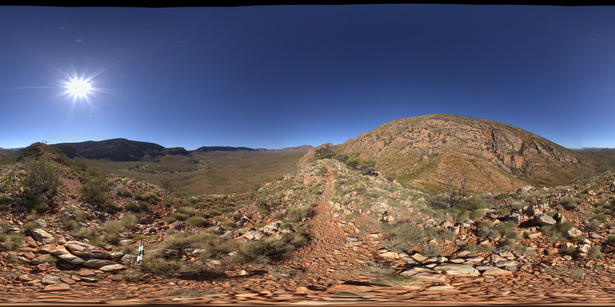
ORMGFSP2
Site:
ORMGFSP2
Downloads:
Map
Description:
panorama view of Ormiston Gorge (NW) and southerly inclined fold axis to the SW. Pound walk, Ormiston Gorge, N.T.
| Capture Date: | Aug. 1, 2016, 3:29 p.m. |
| Latitude: | -23.63673100000 degrees |
| Longitude: | 132.74850400000 degrees |
| Elevation: | 798.151 metres |
| Visualisation Type: | FSP |
| Location Accuracy: | 0 metres |
Keywords:
- fold
- fold axis
- inclined fold axis
- structure
- quartzite
| quartzite | |
|---|---|
| Form Type: | bedded |
| Description: | Fine-, medium- or coarse-grained, planar and cross-bedded, variably feldspathic quartzose sandstone, pink, grey, pinkish-brown, purple or white weathering, and rare laminated mudstone or conglomerate intervals. |
| Min Geological Age: | Cryogenian |
| Max Geological Age: | Cryogenian |
| Min Numerical Age: | 635.000 |
| Max Numerical Age: | 720.000 |
| Strat No: | 8223 |
| Supergroup: | |
| Group: | |
| Subgroup: | |
| Formation: | Heavitree Formation |
| Member: | |
| Province: | Amadeus Basin |