Olary28
Site:
Olary28
Downloads:
Map
3D Model:
Description:
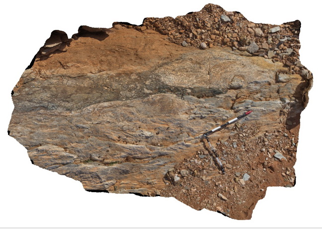
dyke intruding metasediments, containing amphibole and large feldspar domains. Weekaroo, Olary. S.A.
| Capture Date: | July 14, 2015, 11:26 a.m. |
| Latitude: | -32.17818000000 degrees |
| Longitude: | 139.99782000000 degrees |
| Elevation: | NA |
| Visualisation Type: | 3D |
| Location Accuracy: | 5 metres |
Keywords:
- dyke
- intrusive
| igneous rock | |
|---|---|
| Form Type: | dyke |
| Description: | age and stratigraphy unknown. |
| Min Geological Age: | |
| Max Geological Age: | |
| Min Numerical Age: | 0.000 |
| Max Numerical Age: | 0.000 |
| Strat No: | 0 |
| Supergroup: | |
| Group: | |
| Subgroup: | |
| Formation: | |
| Member: | |
| Province: |