Olary40
Site:
Olary40
Downloads:
Map
3D Model:
Description:
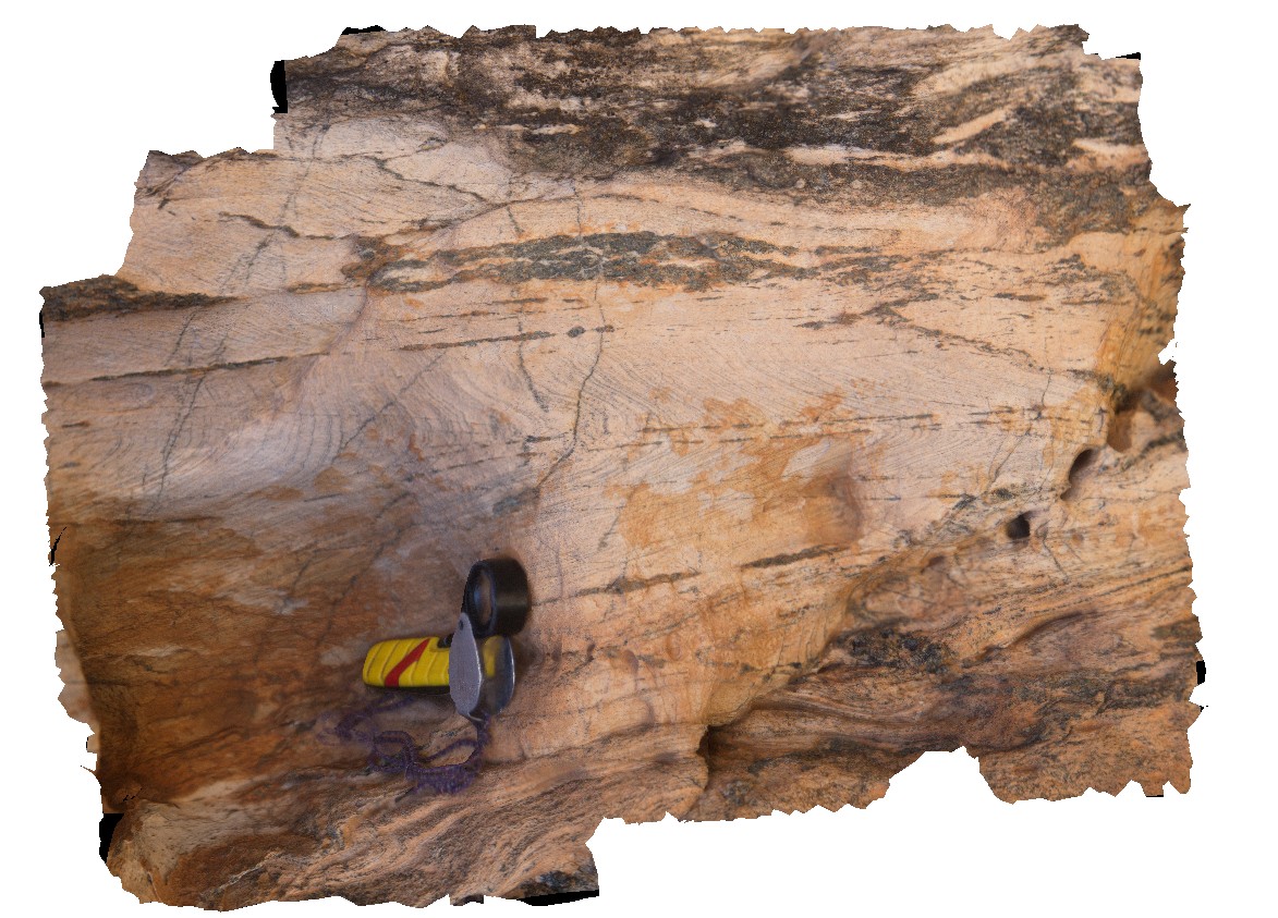
view of folded layering or foliation cut by axial planar amphiboles / dark mineral veins. Cathedral Rock. Olary, S.A.
| Capture Date: | Sept. 27, 2015, 6:21 p.m. |
| Latitude: | -32.09106000000 degrees |
| Longitude: | 140.31787000000 degrees |
| Elevation: | NA |
| Visualisation Type: | 3D |
| Location Accuracy: | 0 metres |
Keywords:
- fold
- axial plane
- structure
| metasediments | |
|---|---|
| Form Type: | bedded |
| Description: | Well-bedded, pelitic sediments with calc-silicate rocks. Quartz-feldspar-biotite composite gneiss. Contains layered albitic metasediments. |
| Min Geological Age: | Statherian |
| Max Geological Age: | Statherian |
| Min Numerical Age: | 1708.000 |
| Max Numerical Age: | 1711.500 |
| Strat No: | 35883 |
| Supergroup: | Willyama Supergroup |
| Group: | |
| Subgroup: | Ethiudna Subgroup |
| Formation: | |
| Member: | |
| Province: |