OlaryFSP10
Site:
OlaryFSP10
Downloads:
Map
Description:
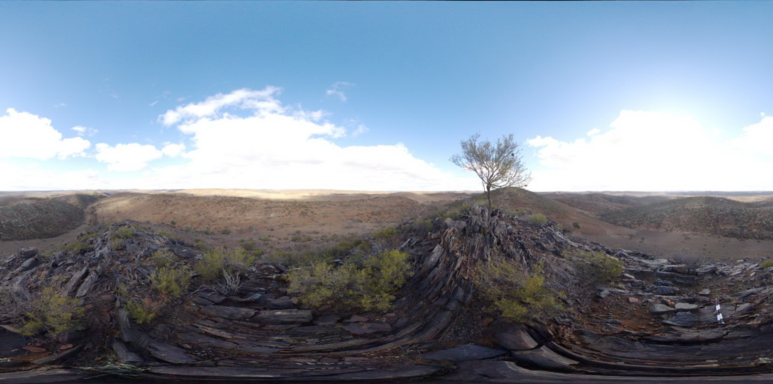
3D view from hill top over surrounding countryside, showing steeply dipping metasediment beds in the foreground . Olary, S.A.
| Capture Date: | July 14, 2015, 11:38 a.m. |
| Latitude: | -32.17412000000 degrees |
| Longitude: | 140.00279000000 degrees |
| Elevation: | NA |
| Visualisation Type: | FSP |
| Location Accuracy: | 0 metres |
Keywords:
- bedding
- structure
- dip
- metasediments
| metasediments | |
|---|---|
| Form Type: | bedded |
| Description: | Andalusite-bearing graphitic pelite and psammopelite with minor psammite layers. |
| Min Geological Age: | Paleoproterozoic |
| Max Geological Age: | Paleoproterozoic |
| Min Numerical Age: | 1600.000 |
| Max Numerical Age: | 2500.000 |
| Strat No: | 68095 |
| Supergroup: | Willyama Supergroup |
| Group: | |
| Subgroup: | |
| Formation: | Walparuta Formation |
| Member: | |
| Province: |