OlaryFSP5
Site:
OlaryFSP5
Downloads:
Map
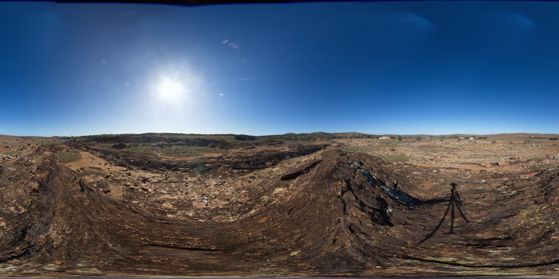
Description:
view of diamictite pavement and surrounding bedding, showing matrix supported sub-angular clasts. Old Booloomata road, Olary. SA.
| Capture Date: | July 14, 2015, 11:39 a.m. |
| Latitude: | -32.09554000000 degrees |
| Longitude: | 140.27914000000 degrees |
| Elevation: | NA |
| Visualisation Type: | FSP |
| Location Accuracy: | 0 metres |
Keywords:
- diamictite
| diamictite | |
|---|---|
| Form Type: | bedded |
| Description: | Diamictite; siltstone; pebbly dolomite; orthoquartzite; glaciomarine |
| Min Geological Age: | Cryogenian |
| Max Geological Age: | Cryogenian |
| Min Numerical Age: | 600.000 |
| Max Numerical Age: | 800.000 |
| Strat No: | 74092 |
| Supergroup: | Heysen Supergroup |
| Group: | |
| Subgroup: | |
| Formation: | |
| Member: | Old Boolcoomata Conglomerate Member |
| Province: |