PeakHillUAV1
Site:
PeakHillUAV1
Downloads:
Map
3D Model:
Description:
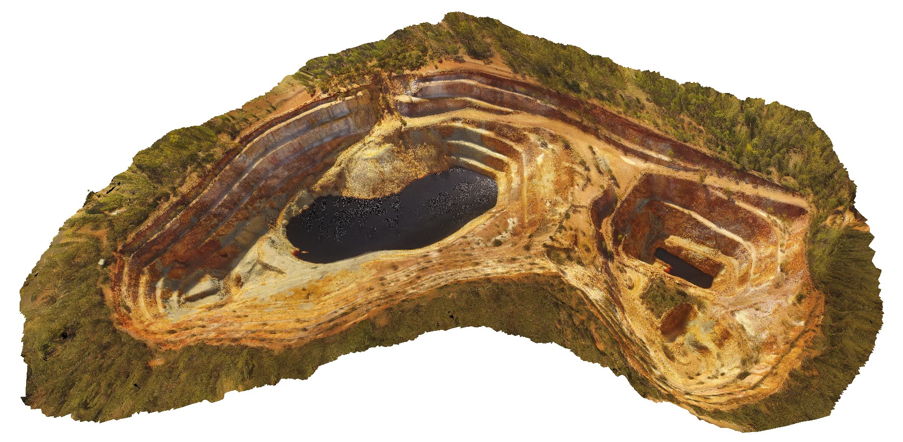
aerial view of the Peak Hill open pit, Peak Hill. N.S.W.
| Capture Date: | April 13, 2016, 12:52 p.m. |
| Latitude: | -32.71978600000 degrees |
| Longitude: | 148.19610200000 degrees |
| Elevation: | NA |
| Visualisation Type: | UAV |
| Location Accuracy: | 0 metres |
Keywords:
- open pit
- Peak Hill Gold Mine
- mining
- mine
| andesite | |
|---|---|
| Form Type: | lava |
| Description: | weathered volcanics |
| Min Geological Age: | Katian |
| Max Geological Age: | Darriwilian |
| Min Numerical Age: | 450.900 |
| Max Numerical Age: | 466.000 |
| Strat No: | 7578 |
| Supergroup: | |
| Group: | Northparkes Volcanic Group |
| Subgroup: | |
| Formation: | Goonumbla Volcanics |
| Member: | |
| Province: | Lachlan Orogen |