Pedder22
Site:
Pedder22
Downloads:
Map
3D Model:
Description:
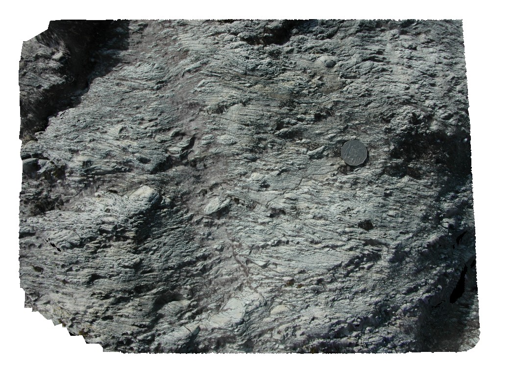
quartzite clasts in conglomerate with strong foliation and folding. Lake Pedder, south west Tasmania.
| Capture Date: | March 16, 2015, 2:28 p.m. |
| Latitude: | -42.95896681000 degrees |
| Longitude: | 146.13472805000 degrees |
| Elevation: | NA |
| Visualisation Type: | 3D |
| Location Accuracy: | 5 metres |
Keywords:
- conglomerate
- foliation
- folding
- structure
| conglomerate | |
|---|---|
| Form Type: | bedded |
| Description: | quartzite clasts in conglomerate. |
| Min Geological Age: | Neoproterozoic |
| Max Geological Age: | Mesoproterozoic |
| Min Numerical Age: | 541.000 |
| Max Numerical Age: | 1600.000 |
| Strat No: | 37490 |
| Supergroup: | |
| Group: | Tyennan Group and correlates |
| Subgroup: | |
| Formation: | |
| Member: | |
| Province: |