Piccaninny5
Site:
Piccaninny5
Downloads:
Map
3D Model:
Description:
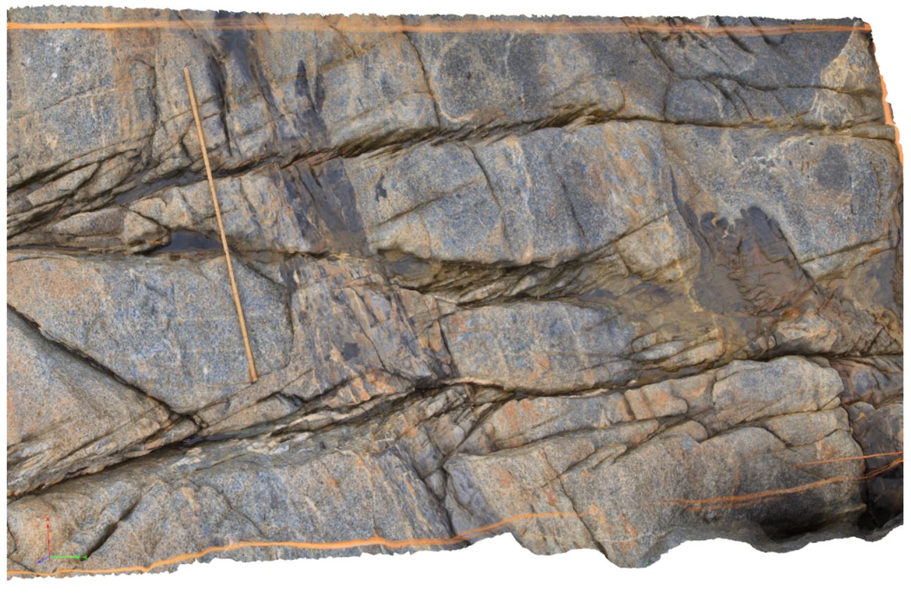
coarse-grained granodiorite with mafic enclaves / dykes, offset by faulting. Piccaninny Point, eastern Tasmania.
| Capture Date: | Undated |
| Latitude: | -41.69446100000 degrees |
| Longitude: | 148.29395280000 degrees |
| Elevation: | 2.000 metres |
| Visualisation Type: | 3D |
| Location Accuracy: | 5 metres |
Keywords:
- fault offset
- dyke
- structure
| granodiorite | |
|---|---|
| Form Type: | dyke |
| Description: | coarse-grained grey granodiorite with mafic enclaves / dyke bodies. |
| Min Geological Age: | Devonian |
| Max Geological Age: | Devonian |
| Min Numerical Age: | 395.700 |
| Max Numerical Age: | 395.700 |
| Strat No: | 73645 |
| Supergroup: | |
| Group: | Long Point Suite |
| Subgroup: | |
| Formation: | Ong Point Granite |
| Member: | |
| Province: |