PicnicPtUAV1
Site:
PicnicPtUAV1
Downloads:
Map
3D Model:
Description:
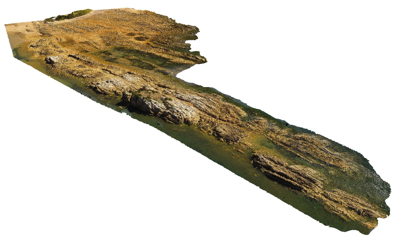
aerial view of Ulverstone metamorphics, showing folded bedding traces. Ulverstone Tasmania.
| Capture Date: | Undated |
| Latitude: | -41.14010200000 degrees |
| Longitude: | 146.16233400000 degrees |
| Elevation: | 2.500 metres |
| Visualisation Type: | UAV |
| Location Accuracy: | 20 metres |
Keywords:
- metasediments
| metasediments | |
|---|---|
| Form Type: | bedded |
| Description: | metasediments. Bedded meta sandstone and siltstones. |
| Min Geological Age: | Early Cambrian |
| Max Geological Age: | Neoproterozoic |
| Min Numerical Age: | 514.000 |
| Max Numerical Age: | 1000.000 |
| Strat No: | 18803 |
| Supergroup: | |
| Group: | |
| Subgroup: | |
| Formation: | Ulverstone Metamorphics |
| Member: | |
| Province: | Lachlan Orogen |