PortcampbellFSP1
Site:
PortcampbellFSP1
Downloads:
Map
Description:
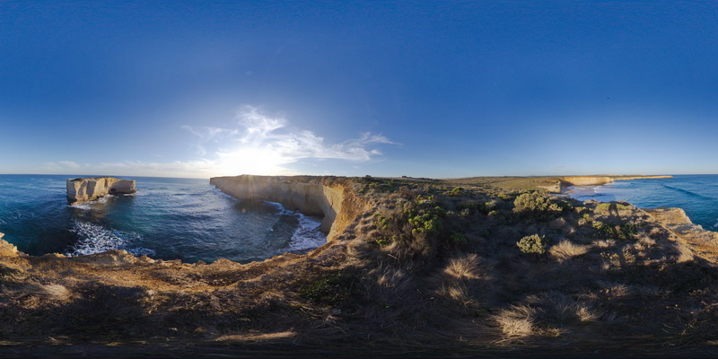
view along south coast of Victoria, showing bedded sediments. Near Port Campbell, Vic.
| Capture Date: | Undated |
| Latitude: | -38.64003000000 degrees |
| Longitude: | 143.04898000000 degrees |
| Elevation: | NA |
| Visualisation Type: | FSP |
| Location Accuracy: | 0 metres |
Keywords: