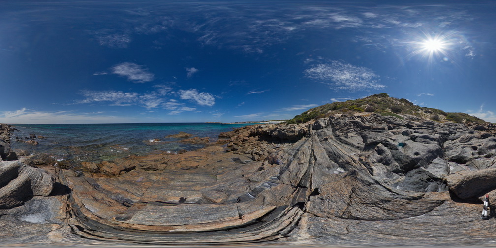
PtNeillFSP7
Site:
PtNeillFSP7
Downloads:
Map
Description:
shore platform exposure showing granitic and mafic differentiated bands in mylonite.
| Capture Date: | Oct. 20, 2015, 3:21 p.m. |
| Latitude: | -34.10677000000 degrees |
| Longitude: | 136.35036000000 degrees |
| Elevation: | NA |
| Visualisation Type: | FSP |
| Location Accuracy: | 0 metres |
Keywords:
- mylonite
| mylonite | |
|---|---|
| Form Type: | |
| Description: | granitic and mafic differentiated bands in mylonite |
| Min Geological Age: | Paleoproterozoic |
| Max Geological Age: | Paleoproterozoic |
| Min Numerical Age: | 1700.000 |
| Max Numerical Age: | 1730.000 |
| Strat No: | 9128 |
| Supergroup: | |
| Group: | |
| Subgroup: | |
| Formation: | Kalinjala Mylonite |
| Member: | |
| Province: |