PurnululuUAV5
Site:
PurnululuUAV5
Downloads:
Map
3D Model:
Description:
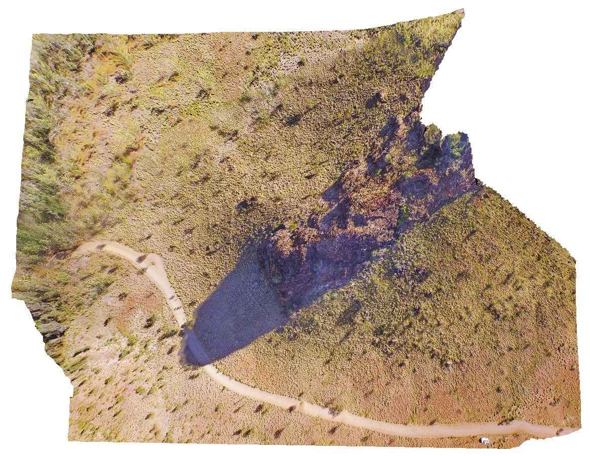
aerial view of knife-edge ridge in with carbonate cemented breccias. Purnululu National Park, W.A.
| Capture Date: | June 12, 2016, noon |
| Latitude: | -17.41007000000 degrees |
| Longitude: | 128.20453000000 degrees |
| Elevation: | NA |
| Visualisation Type: | UAV |
| Location Accuracy: | 0 metres |
Keywords:
- weathering feature
- knife-edge ridge
- carbonate
- Bungle Bungles
- Purnululu National Park
| dolostone | |
|---|---|
| Form Type: | bedded |
| Description: | Monotonous sequence of weakly metamorphosed, thin- to medium-bedded mudstone, siltstone, and matrix-supported quartz wacke, greywacke and arkose. Thicker metamorphosed coarse-grained to pebbly, clast-supported quartz sandstone units are also present. |
| Min Geological Age: | Orosirian |
| Max Geological Age: | Orosirian |
| Min Numerical Age: | 1847.000 |
| Max Numerical Age: | 1873.000 |
| Strat No: | 14567 |
| Supergroup: | |
| Group: | Halls Creek Group |
| Subgroup: | |
| Formation: | Olympio Formation |
| Member: | |
| Province: | Lamboo Province |