REYNFSP2
Site:
REYNFSP2

Downloads:
Map
Description:
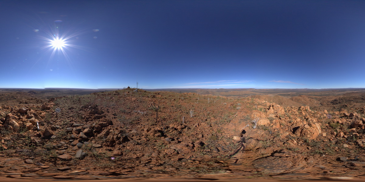
view from west side of Mount Boothby, showing gneiss (foreground) and surrounding landscape. Reynolds Range. Next to Stuart Highway. N.T.
| Capture Date: | July 24, 2016, 11:43 a.m. |
| Latitude: | -22.57917700000 degrees |
| Longitude: | 133.29637600000 degrees |
| Elevation: | 887.075 metres |
| Visualisation Type: | FSP |
| Location Accuracy: | 0 metres |
Keywords:
- Aileron Metamorphics
- Boothby Orthogneiss
- metamorphics
| gneiss | |
|---|---|
| Form Type: | |
| Description: | Felsic and mafic granulite, cordierite granulite, amphibolite, biotite-, garnet-biotite gneiss, sillimanite gneiss, quartzofeldspathic gneiss, calc-silicate rock, marble, quartz rich sediments |
| Min Geological Age: | Orosirian |
| Max Geological Age: | Orosirian |
| Min Numerical Age: | 1800.000 |
| Max Numerical Age: | 2050.000 |
| Strat No: | 168 |
| Supergroup: | |
| Group: | |
| Subgroup: | |
| Formation: | Aileron Metamorphics |
| Member: | |
| Province: |
| gneiss | |
|---|---|
| Form Type: | |
| Description: | Coarse porphyritic granitic augen gneiss with mantled feldspar. Contains occasional xenoliths of coarse grained cordierite rich granofels. |
| Min Geological Age: | Orosirian |
| Max Geological Age: | Orosirian |
| Min Numerical Age: | 1800.000 |
| Max Numerical Age: | 1806.000 |
| Strat No: | 28156 |
| Supergroup: | |
| Group: | Napery Suite |
| Subgroup: | |
| Formation: | Boothby Orthogneiss |
| Member: | |
| Province: |