RileyUAV1
Site:
RileyUAV1
Downloads:
Map
3D Model:
Description:
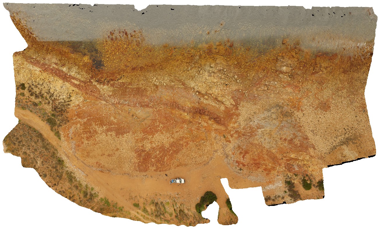
aerial view of granite shore exposure with intruding dykes. Point Riley.
| Capture Date: | Oct. 20, 2015, 4:25 p.m. |
| Latitude: | -33.87572300000 degrees |
| Longitude: | 137.60184900000 degrees |
| Elevation: | NA |
| Visualisation Type: | UAV |
| Location Accuracy: | 0 metres |
Keywords:
- granite
- intrusive contact
| granite | |
|---|---|
| Form Type: | |
| Description: | Granite, homogeneous, coarse-grained, megacrystic granite. Associated pink, fine to medium-grained granite dykes. |
| Min Geological Age: | Calymmian |
| Max Geological Age: | Calymmian |
| Min Numerical Age: | 1575.000 |
| Max Numerical Age: | 1585.000 |
| Strat No: | 26473 |
| Supergroup: | Hiltaba Supersuite |
| Group: | |
| Subgroup: | |
| Formation: | Charleston Granite |
| Member: | |
| Province: |