Roches7
Site:
Roches7
Downloads:
Map
3D Model:
Description:
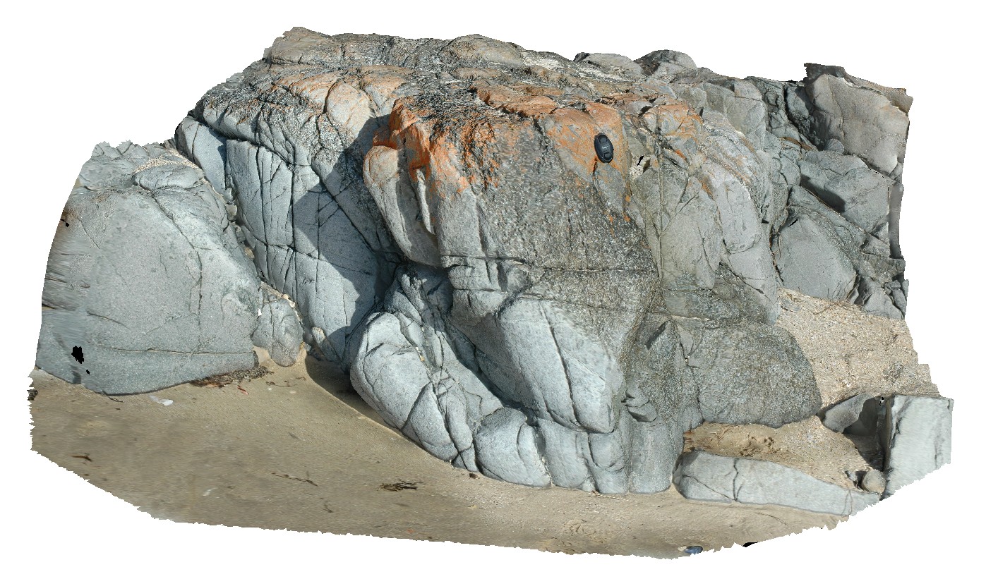
dolerite outcrop, showing coarse and fine-grained segregations / zones and blocky jointing. Roches Beach, Tasmania.
| Capture Date: | March 16, 2015, 2:21 p.m. |
| Latitude: | -42.88414512000 degrees |
| Longitude: | 147.50540867000 degrees |
| Elevation: | 2.000 metres |
| Visualisation Type: | 3D |
| Location Accuracy: | 5 metres |
Keywords:
- grain size
- dolerite
| dolerite | |
|---|---|
| Form Type: | sill |
| Description: | massive dolerite with grain size segregations / zones. |
| Min Geological Age: | Permian |
| Max Geological Age: | Late Carboniferous |
| Min Numerical Age: | 252.170 |
| Max Numerical Age: | 298.900 |
| Strat No: | 73112 |
| Supergroup: | |
| Group: | |
| Subgroup: | |
| Formation: | Parmeener Supergroup, Lower |
| Member: | |
| Province: |