Scamander1
Site:
Scamander1
Downloads:
Map
3D Model:
Description:
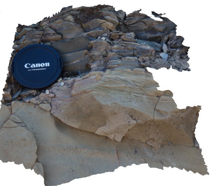
detailed view of small cross beds in top of sandstone bed, overlain by blocky siltstone and cut by strong cleavage. Upper Scamander Rd, near Scamander River. Eastern Tasmania.
| Capture Date: | March 13, 2015, 9:16 a.m. |
| Latitude: | -41.45960602000 degrees |
| Longitude: | 148.23073954000 degrees |
| Elevation: | 1.000 metres |
| Visualisation Type: | 3D |
| Location Accuracy: | 10 metres |
Keywords:
- cross bedding
- turbidite
- sedimentology
| turbidite | |
|---|---|
| Form Type: | bedded |
| Description: | fine-grained sandstone with cross bedding at top of bed. Overlain by thinly bedded siltstone. |
| Min Geological Age: | Early Devonian |
| Max Geological Age: | Early Devonian |
| Min Numerical Age: | 393.300 |
| Max Numerical Age: | 419.200 |
| Strat No: | 16654 |
| Supergroup: | Mathinna Supergroup |
| Group: | |
| Subgroup: | |
| Formation: | Scamander Formation |
| Member: | |
| Province: |