ScottsPk2
Site:
ScottsPk2
Downloads:
Map
3D Model:
Description:
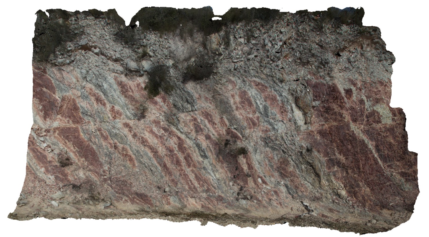
steeply dipping red mudstone and thin sandstone beds with small off-setting, sub horizontal faults. Scots Peak Dam road. Tasmania.
| Capture Date: | Feb. 23, 2016, 9:28 a.m. |
| Latitude: | -43.03230000000 degrees |
| Longitude: | 146.33516000000 degrees |
| Elevation: | NA |
| Visualisation Type: | 3D |
| Location Accuracy: | 0 metres |
Keywords:
- fault
- structure
| mudstone | |
|---|---|
| Form Type: | bedded |
| Description: | dominantly laminated marine mudstone and siltstone with carbonate, dominantly shallow marine, cross-bedded orthoquartzite. |
| Min Geological Age: | Neoproterozoic |
| Max Geological Age: | Mesoproterozoic |
| Min Numerical Age: | 541.000 |
| Max Numerical Age: | 1600.000 |
| Strat No: | 37490 |
| Supergroup: | |
| Group: | Tyennan Group and correlates |
| Subgroup: | |
| Formation: | |
| Member: | |
| Province: |