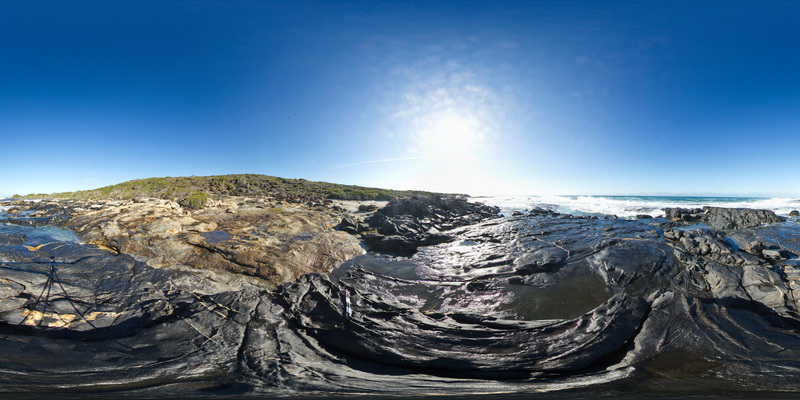
StarvationBayFSP2
Site:
StarvationBayFSP2
Downloads:
Map
Description:
overview of contact between folded gneiss and amphibole gneiss, Starvation Bay. W.A.
| Capture Date: | June 5, 2016, 10:47 a.m. |
| Latitude: | -33.92161000000 degrees |
| Longitude: | 120.55975000000 degrees |
| Elevation: | NA |
| Visualisation Type: | FSP |
| Location Accuracy: | 0 metres |
Keywords:
- geological contact
- gneiss
| gneiss | |
|---|---|
| Form Type: | |
| Description: | Biotite-hornblende monzogranite gneiss, garnet-bearing granodiorite gneiss, and rare syn-plutonic dykes. |
| Min Geological Age: | Ectasian |
| Max Geological Age: | Ectasian |
| Min Numerical Age: | 1280.000 |
| Max Numerical Age: | 1330.000 |
| Strat No: | 78595 |
| Supergroup: | Recherche Supersuite |
| Group: | |
| Subgroup: | |
| Formation: | |
| Member: | |
| Province: | Albany-Fraser Orogen |