StarvationBayUAV1
Site:
StarvationBayUAV1
Downloads:
Map
3D Model:
Description:
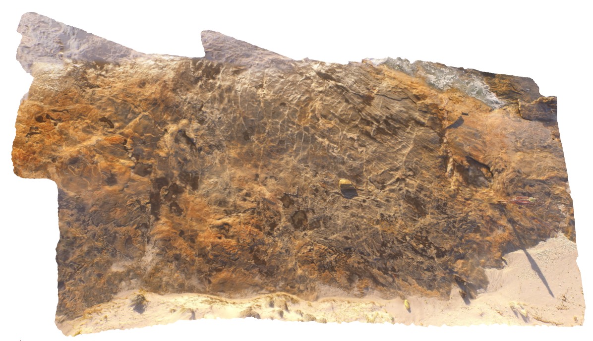
overall view of outcrop pavement, showing folded and sheared gneissic rocks. Starvation Bay, W.A.
| Capture Date: | Undated |
| Latitude: | -33.92010800000 degrees |
| Longitude: | 120.56163100000 degrees |
| Elevation: | 5.100 metres |
| Visualisation Type: | UAV |
| Location Accuracy: | 0 metres |
Keywords:
- gneiss
- structure
| gneiss | |
|---|---|
| Form Type: | |
| Description: | Biotite-hornblende monzogranite gneiss, garnet-bearing granodiorite gneiss, and rare syn-plutonic dykes. |
| Min Geological Age: | Ectasian |
| Max Geological Age: | Ectasian |
| Min Numerical Age: | 1280.000 |
| Max Numerical Age: | 1330.000 |
| Strat No: | 78595 |
| Supergroup: | Recherche Supersuite |
| Group: | |
| Subgroup: | |
| Formation: | |
| Member: | |
| Province: | Albany-Fraser Orogen |