SulphurCreekFSP4
Site:
SulphurCreekFSP4
Downloads:
Map
Description:
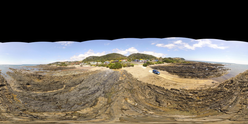
beach exposure of truncated folding in bedded sandstones and mudstones. Sulphur Creek, north Tas.
| Capture Date: | Undated |
| Latitude: | -41.09097000000 degrees |
| Longitude: | 146.02003000000 degrees |
| Elevation: | 1.000 metres |
| Visualisation Type: | FSP |
| Location Accuracy: | 5 metres |
Keywords:
- fault
- fold
- structure
- metasediments
| metasediments | |
|---|---|
| Form Type: | bedded |
| Description: | package of interbedded sandstones and mudstones |
| Min Geological Age: | Cryogenian |
| Max Geological Age: | Tonian |
| Min Numerical Age: | 750.000 |
| Max Numerical Age: | 1000.000 |
| Strat No: | 27555 |
| Supergroup: | |
| Group: | Rocky Cape Group |
| Subgroup: | |
| Formation: | |
| Member: | |
| Province: |