TableHillUAV1
Site:
TableHillUAV1
Downloads:
Map
3D Model:
Description:
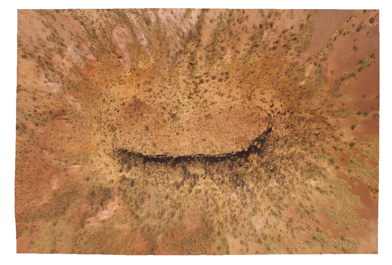
aerial view of a Mesa, capped by calcrete - Tertiary land surface. Ashburton Downs - Meekatharra Road, W.A.
| Capture Date: | May 28, 2016, noon |
| Latitude: | -23.64748200000 degrees |
| Longitude: | 117.45549200000 degrees |
| Elevation: | NA |
| Visualisation Type: | UAV |
| Location Accuracy: | 0 metres |
Keywords:
- mesa
- tertiary land surface
| sediments | |
|---|---|
| Form Type: | bedded |
| Description: | Mudstone, siltstone and thin- to very thick-bedded lithic-quartz sandstone; minor pebble- to cobble-conglomerate, felsic to mafic volcanic rocks, BIF and dolostone. Lower greenschist facies. |
| Min Geological Age: | Statherian |
| Max Geological Age: | Orosirian |
| Min Numerical Age: | 1786.000 |
| Max Numerical Age: | 2008.000 |
| Strat No: | 698 |
| Supergroup: | |
| Group: | Wyloo Group |
| Subgroup: | |
| Formation: | Ashburton Formation |
| Member: | |
| Province: | Ashburton Basin |
| calcrete | |
|---|---|
| Form Type: | |
| Description: | hard, calcium cemented, duricrust. Age unknown. |
| Min Geological Age: | |
| Max Geological Age: | |
| Min Numerical Age: | 0.000 |
| Max Numerical Age: | 0.000 |
| Strat No: | 0 |
| Supergroup: | |
| Group: | |
| Subgroup: | |
| Formation: | |
| Member: | |
| Province: |