Talia1
Site:
Talia1
Downloads:
Map
3D Model:
Description:
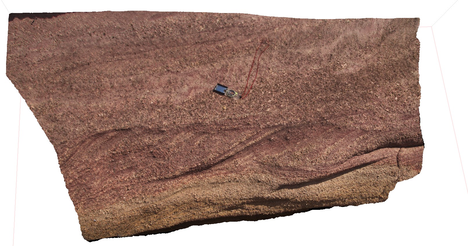
cross bedded pebbly sand stone of shore platform near Talia Caves site. Talia.
| Capture Date: | Oct. 20, 2015, 4:50 p.m. |
| Latitude: | -33.31670000000 degrees |
| Longitude: | 134.78386000000 degrees |
| Elevation: | NA |
| Visualisation Type: | 3D |
| Location Accuracy: | 0 metres |
Keywords:
- calcareous sand stone
- cross bedding
| sand stone | |
|---|---|
| Form Type: | bedded |
| Description: | Poorly consolidated yellow pinkish-brown fine to coarse fossiliferous calcareous sand, calcarenite. Locally capped by calcrete. As coastal beach and associated aeolian dune. Forms stranded series of elongated beach ridges, subparallel to present coast |
| Min Geological Age: | Late Pleistocene |
| Max Geological Age: | Pleistocene |
| Min Numerical Age: | 0.012 |
| Max Numerical Age: | 0.690 |
| Strat No: | 2543 |
| Supergroup: | |
| Group: | |
| Subgroup: | |
| Formation: | Bridgewater Formation |
| Member: | |
| Province: | Eucla Basin, Murray Basin, St Vincent Basin |