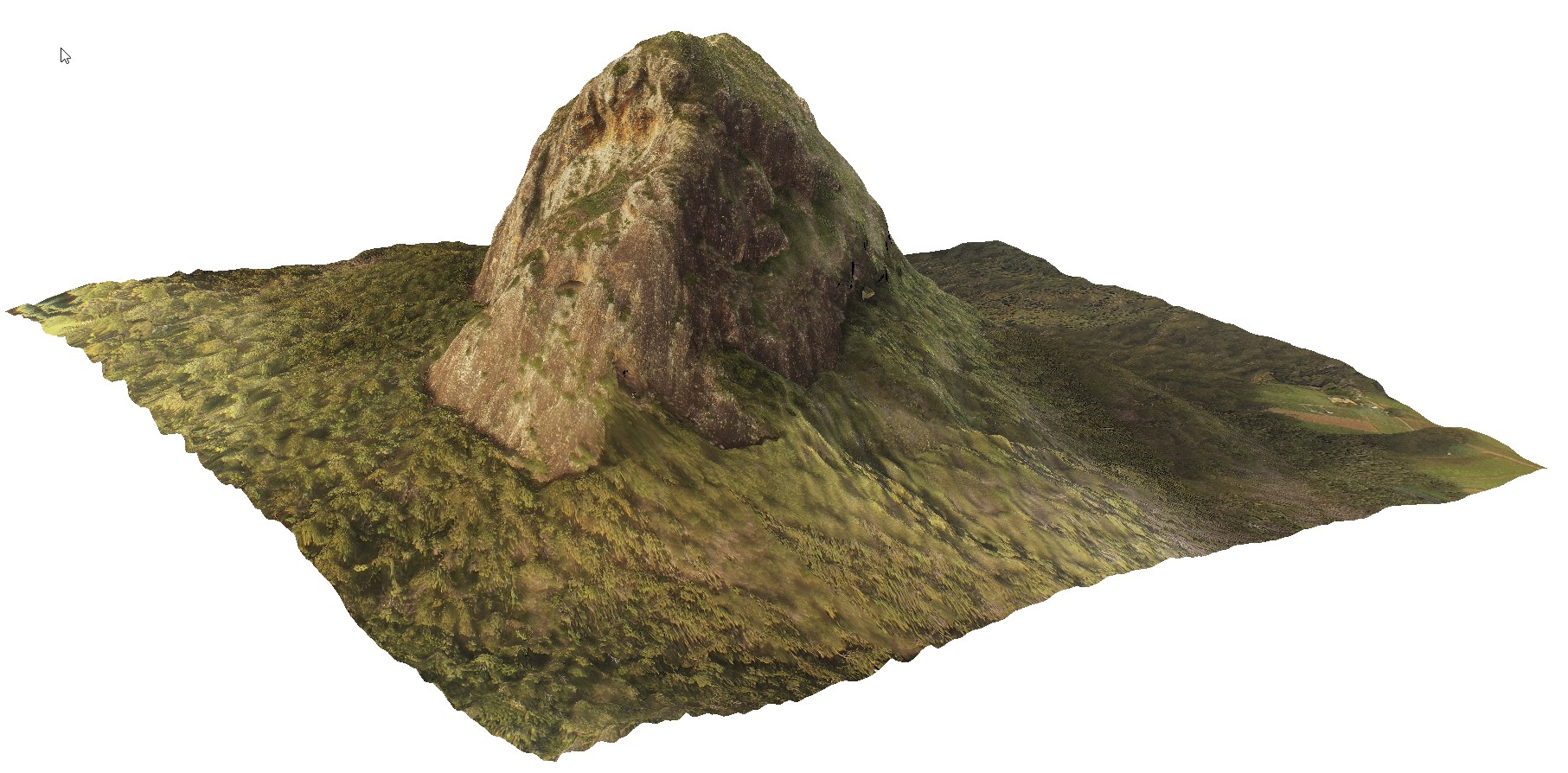
TibrogargunUAV1
Site:
TibrogargunUAV1
Downloads:
Map
3D Model:
Description:
location inferred from Google Earth
| Capture Date: | April 18, 2016, 10:22 a.m. |
| Latitude: | -26.92724900000 degrees |
| Longitude: | 152.94669600000 degrees |
| Elevation: | NA |
| Visualisation Type: | UAV |
| Location Accuracy: | 0 metres |
Keywords: