TimberCreekFSP1
Site:
TimberCreekFSP1
Downloads:
Map
Description:
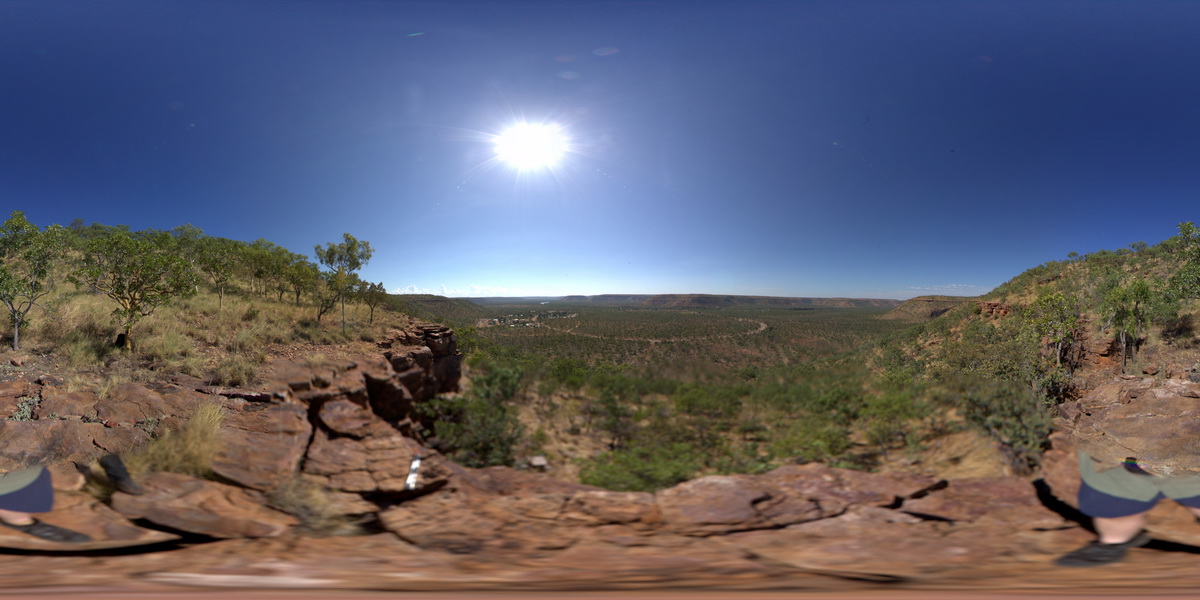
view from hill of surrounding valley, showing flat-lying cross bedded quartzite unit and overlying interbedded sandstone and siltstones. Timber Creek, W.A.
| Capture Date: | June 18, 2016, noon |
| Latitude: | -15.65412000000 degrees |
| Longitude: | 130.46182000000 degrees |
| Elevation: | NA |
| Visualisation Type: | FSP |
| Location Accuracy: | 0 metres |
Keywords:
- quartzite
- sedimentology
| quartzite | |
|---|---|
| Form Type: | bedded |
| Description: | Silty dolostone, dolomitic siltstone, sandstone, minor dolarenite, dolomitic sandstone, dolostone and chert. |
| Min Geological Age: | Calymmian |
| Max Geological Age: | Calymmian |
| Min Numerical Age: | 1400.000 |
| Max Numerical Age: | 1600.000 |
| Strat No: | 18163 |
| Supergroup: | |
| Group: | Bullita Group |
| Subgroup: | |
| Formation: | Timber Creek Formation |
| Member: | |
| Province: | Birrindudu Basin |