TomPriceFSP2
Site:
TomPriceFSP2
Downloads:
Map
Description:
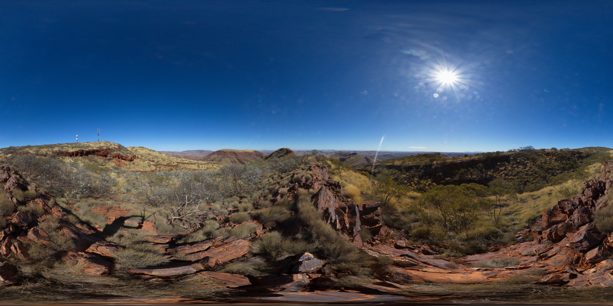
360 degree view from near the summit of Mount Nameless, showing surrounding ridge dominated landscape of sedimentary geology. Tom Price, W.A.
| Capture Date: | May 29, 2016, noon |
| Latitude: | -22.71666000000 degrees |
| Longitude: | 117.76108000000 degrees |
| Elevation: | NA |
| Visualisation Type: | FSP |
| Location Accuracy: | 0 metres |
Keywords:
- Brockman Iron Formation
- Pilbara
- Hamersley Basin
| BIF | |
|---|---|
| Form Type: | bedded |
| Description: | Banded iron-formation, chert, mudstone and siltstone. Includes crocidolite. |
| Min Geological Age: | Siderian |
| Max Geological Age: | Neoarchean |
| Min Numerical Age: | 2451.000 |
| Max Numerical Age: | 2495.000 |
| Strat No: | 2602 |
| Supergroup: | Mount Bruce Supergroup |
| Group: | |
| Subgroup: | |
| Formation: | Brockman Iron Formation |
| Member: | |
| Province: | Hamersley Basin |