ULURU2
Site:
ULURU2
Downloads:
Map
3D Model:
Description:
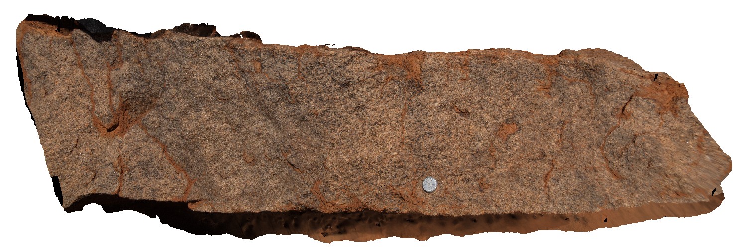
close-up view of freshly exposed Mutitjulu Arkose sandstone, showing coarse grains. Uluru, N.T.
| Capture Date: | July 30, 2016, 12:19 p.m. |
| Latitude: | -25.34085700000 degrees |
| Longitude: | 131.02541500000 degrees |
| Elevation: | 526.182 metres |
| Visualisation Type: | 3D |
| Location Accuracy: | 0 metres |
Keywords:
- arkose
- sandstone
- sedimentology
- Mutitjulu Arkose
- Uluru
| arkose | |
|---|---|
| Form Type: | bedded |
| Description: | Coarse to very coarse-grained arkosic sandstone and arkose, trough cross-bedded; granule to pebble conglomerate, fine- to medium-grained arkosic sandstone. |
| Min Geological Age: | Early Cambrian |
| Max Geological Age: | Cambrian |
| Min Numerical Age: | 485.400 |
| Max Numerical Age: | 541.000 |
| Strat No: | 31843 |
| Supergroup: | |
| Group: | |
| Subgroup: | |
| Formation: | Mutitjulu Arkose |
| Member: | |
| Province: | Amadeus Basin |