WARA2
Site:
WARA2
Downloads:
Map
3D Model:
Description:
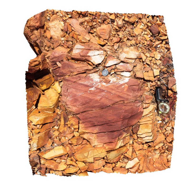
Warramunga Formation sandstone with bedding and foliation. Near Bill Allen lookout. Tennant Creek, N.T.
| Capture Date: | July 22, 2016, 10:13 a.m. |
| Latitude: | -19.65035900000 degrees |
| Longitude: | 134.21173300000 degrees |
| Elevation: | 397.286 metres |
| Visualisation Type: | 3D |
| Location Accuracy: | 0 metres |
Keywords:
- Warramunga Formation
- bedding
- foliation
- structure
| sandstone | |
|---|---|
| Form Type: | bedded |
| Description: | Tuffaceous arenite/wacke ("metagreywacke") and siltstone; shale, including argillaceous banded ironstone ("haematite shale"); slate. |
| Min Geological Age: | Orosirian |
| Max Geological Age: | Orosirian |
| Min Numerical Age: | 1847.400 |
| Max Numerical Age: | 1861.400 |
| Strat No: | 30741 |
| Supergroup: | |
| Group: | |
| Subgroup: | |
| Formation: | Warramunga Formation |
| Member: | |
| Province: |